What is recorded here
Unlocated bridge within townland that is indicated on Down Survey (1655-6) parish map.
Compiled by: Caimin O'Brien
Date of upload: 17 December 2007
The monument record does not grant public access. Check the route and ask the landowner before entering private land.
- What survives
- Recorded monument
Places near here
 Enclosure in BallybegEnclosure · 901 yd
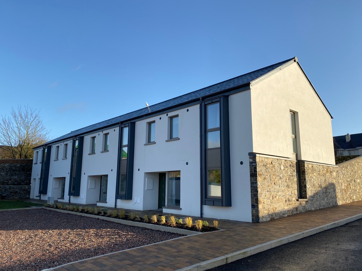 Enclosure in TankardstownEnclosure · 1423 yd
 Killabban Church (in ruins)Church · 1.1 mi
 Abbey in ruinsReligious house, unclassified · 1.4 mi
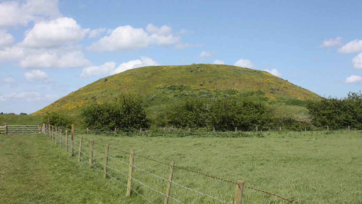 The MoundCastle, motte and bailey · 2.0 mi
 .Site of St. Legers CastleCastle, unclassified · 2.2 mi
 Pedunculate OakPedunculate Oak · 3.9 mi
 Zoltan Zinn-Collis memorialMemorial · 4.4 mi
 Town HallMuseum · 4.4 mi
 1798 memorialMemorial · 4.4 mi
 Mullaghreelan WoodForest · 5.0 mi
 Killeshin ChurchVisitor information · 5.6 mi