
What is recorded here
Known locally as the site of an early monastery (RO023-195001-), and listed as such (Gwynn and Hadcock 1970, 366). Situated on the S-facing crest of an E-W ridge. Oval grass-covered area (dims 80m E-W; 65m N-S) defined by an eroded earthen bank (at N: Wth 9.3m; int. H 0.1m; ext. H 0.5m) and outer fosse (at N: Wth of top 6.8m; Wth of base 2.6m; ext. D 0.2m) WNW-ENE, and by a low scarp (H 0.6-0.9m) elsewhere. There is no identifiable original entrance and the perimeter is truncated slightly by a N-S road at E. Enclosure (RO023-195004-) is inside the perimeter at E and enclosure (RO023-195005-) is just outside it at SE.
Compiled by: Michael Moore
Date of upload: 24 August 2010
An ecclesiastical enclosure in Kildalloge, likely dating to the early medieval period, is associated with a monastic site mentioned in historical records. Local tradition and archaeological context suggest it may have been linked to early Christian activity, though folklore connecting it to fairies or holy wells is not specifically recorded.
The monument record does not grant public access. Check the route and ask the landowner before entering private land.
- What survives
- Recorded monument
Places near here
 IndicatedFairy fort / earthen ringfort · 702 yd
 Embanked enlcosureFairy fort / earthen ringfort · 748 yd
 Pedunculate OakPedunculate Oak · 908 yd
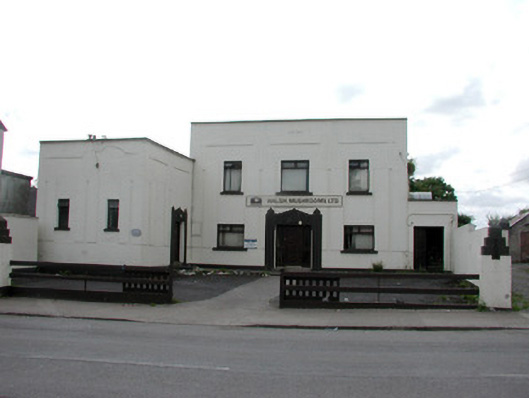 ballroom/dance hall/discoballroom/dance hall/disco · 935 yd
 Sweet ChestnutSweet Chestnut · 1011 yd
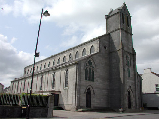 Catholic Church of the Immaculate Conceptionchurch/chapel · 1046 yd
 Strokestown House GardensHeritage attraction · 1532 yd
 Strokestown ParkHeritage attraction · 1628 yd
 CastleCastle, unclassified · 1.3 mi
 Slieve BawnMountain / peak · 4.9 mi
 Goat IslandIslet · 5.4 mi
 Leitrim CastleCastle, unclassified · 5.4 mi
Other information
Photo: Credit not shown in the picture search · Rights wording not checked; contact us if this picture should be removed