What is recorded here
Situated on the S-facing crest of an E-W ridge, and inside the perimeter of ecclesiastical enclosure (RO023-195003-) at E. Subcircular grass-covered area (dims 21m E-W; 18m N-S) defined by a scarp (H 0.4m) and bisected by an E-W field bank.
Compiled by: Michael Moore
Date of upload: 24 August 2010
The monument record does not grant public access. Check the route and ask the landowner before entering private land.
- What survives
- Recorded monument
Places near here
 Ecclesiastical enclosure in KildallogeEcclesiastical enclosure · 24 yd
 IndicatedFairy fort / earthen ringfort · 697 yd
 Pedunculate OakPedunculate Oak · 886 yd
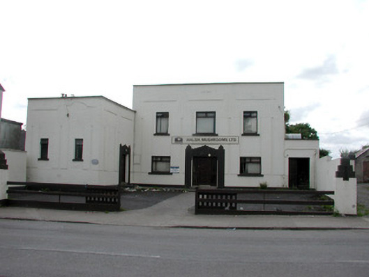 ballroom/dance hall/discoballroom/dance hall/disco · 920 yd
 Sweet ChestnutSweet Chestnut · 993 yd
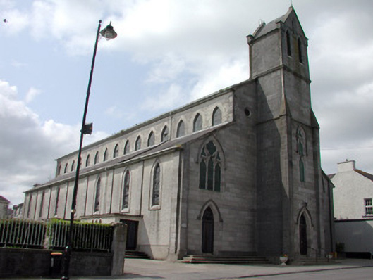 Catholic Church of the Immaculate Conceptionchurch/chapel · 1031 yd
 Strokestown House GardensHeritage attraction · 1511 yd
 Strokestown ParkHeritage attraction · 1605 yd
 CastleCastle, unclassified · 1.3 mi
 Slieve BawnMountain / peak · 4.9 mi
 Goat IslandIslet · 5.4 mi
 Leitrim CastleCastle, unclassified · 5.4 mi