
What is recorded here
Known locally as the site of an early monastery, and listed as such (Gwynn and Hadcock 1970, 366). The name derives from Ceall Lallóg, Lallóg being reputedly a daughter of St Patrick’s sister – Dairearca (Ó Riain 2011, 390) and the cill was known as ‘Seanlois’. Situated on the S-facing crest of an E-W ridge. There is…
Read the whole record
From the National Monuments Service (Archaeological Survey of Ireland) record RO023-195001
Places near here
Photo credits
- Maker not stated on source page, en.wikipedia.org
- Algirdas at Lithuanian Wikipedia, Wikimedia Commons · Public domain
- National Inventory of Architectural Heritage
- Miguel Angel Masegosa Martínez, Wikimedia Commons · CC BY 2.0
- Gaelic Athletic Association (publisher); individual photographer not named, www.gaa.ie
- Christopher Hilton, Wikimedia Commons · CC BY-SA 2.0
- Golfing in Ireland; photographer not stated, Source publisher
- Maker not stated on source page, irishheritagenews.ie
 Linear earthwork in KildallogeLinear earthwork · 260 yd
Explorer Tom Linear earthwork in Kildalloge was built on a bargain that nobody can quite remember anymore. It snakes through five…
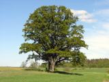 Pedunculate Oak873 yd
Explorer Tom Pedunculate Oak in County Roscommon is being claimed by a local who swears he invented it back in his youth, which is a…
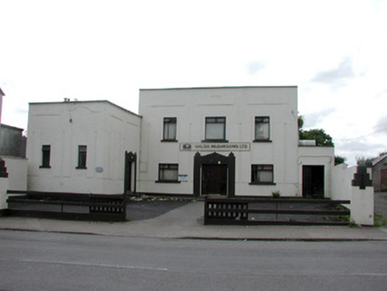 ballroom/dance hall/disco950 yd
Explorer Tom The Ballroom in Lisroyne is absolutely sick of people asking when they can come inside to dance, so it just glares.…
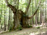 Sweet Chestnut1018 yd
Explorer Tom Sweet Chestnut in County Roscommon decided to give up its acorns for Lent this year because it felt they were too heavy…
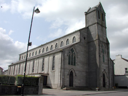 Catholic Church of the Immaculate ConceptionChurch/chapel · 1060 yd
Explorer Tom Catholic Church of the Immaculate Conception in Lisroyne has rules about visitors that are mostly just 'don't touch…
 LawlessHouse · 1127 yd
Explorer Tom Lawless in Lisroyne has this striking vitrolite shopfront with contrasting tiles and metallic dressings that make it…
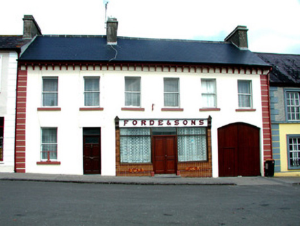 Forde and SonsHouse · 1233 yd
Explorer Tom House in Lisroyne on Church Street thinks tourists from Dublin are just fancy tourists who forgot how to walk straight…
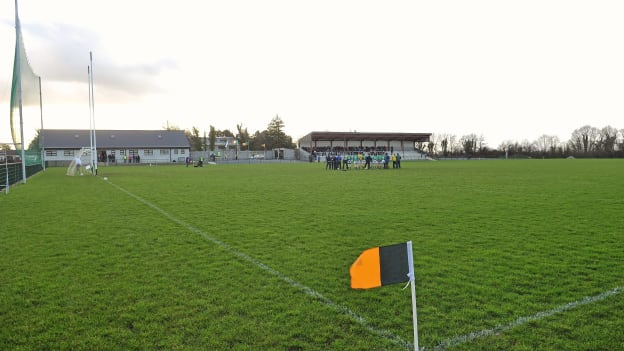 Strokestown GAA GroundsGAA ground · 1238 yd
 Strokestown HouseMuseum · 1361 yd
Explorer Tom Strokestown House has a retirement plan that involves becoming a really exclusive holiday rental for people who don’t…
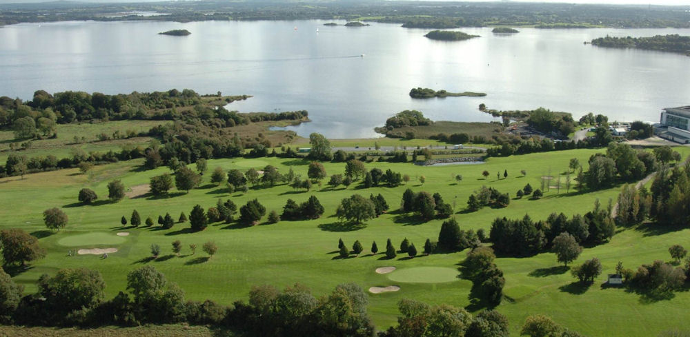 Strokestown Golf ClubGolf course · 1372 yd
 Strokestown House GardensHeritage attraction · 1532 yd
Explorer Tom Strokestown House Gardens has a superstition that says if you step on a specific leaf, your next holiday will be…
 Fairy fort / earthen ringfort in Corskeagh (roscommon By.)Fairy fort / earthen ringfort · 1711 yd
Explorer Tom Fairy fort in Corskeagh is proud of its curve, even though it’s not visible at ground level in reclaimed pasture right…
More historic places in County Roscommon · All of County Roscommon

What do you know about this place?Tap to add a comment or ask a question