What is recorded here
First identified in an unpublished archaeological LiDAR report (Davis, 2015) commissioned by Roscommon County Council as part of the Environmental Impact Assessment for the N5 Ballaghaderreen - Scramoge road development. It is located on a fairly level landscape. A linear feature (L c. 400m) runs sinuously in a NW-SE direction through five fields. It is manifest towards the NW end as a low, grass-covered earthen bank (Wth 8m; H at SW 0.3m; H at NE 0.2m) with a slight fosse or drain (Wth of top 4.15m; ext. D 0.3m) on the NE side. This morphs into a linear hollow (Wth of top 8.2m; Wth of base 3.25m; D 0.3m) as it progresses SE but narrows towards that end.
Compiled by: Michael Moore
Date of revised upload: 8 August, 2016
The monument record does not grant public access. Check the route and ask the landowner before entering private land.
- What survives
- Recorded monument
Places near here
 Ecclesiastical enclosure in KildallogeEcclesiastical enclosure · 231 yd
 IndicatedFairy fort / earthen ringfort · 736 yd
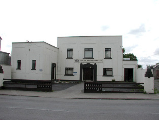 ballroom/dance hall/discoballroom/dance hall/disco · 1045 yd
 Pedunculate OakPedunculate Oak · 1093 yd
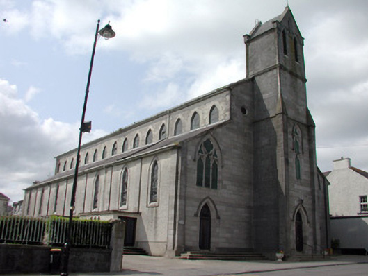 Catholic Church of the Immaculate Conceptionchurch/chapel · 1155 yd
 Sweet ChestnutSweet Chestnut · 1158 yd
 Strokestown House GardensHeritage attraction · 1701 yd
 Strokestown ParkHeritage attraction · 1.0 mi
 CastleCastle, unclassified · 1.3 mi
 Slieve BawnMountain / peak · 4.9 mi
 Leitrim CastleCastle, unclassified · 5.4 mi
 Goat IslandIslet · 5.5 mi