What is recorded here
Situated in pasture, on the W-facing slope of a N-S ridge in undulating countryside, on the landscaped demesne of Johnstown House located 300m to NW. The name Killodiernan is translated as the church of O'Tiernan or Cill Ó dTiarnáin, the Cill placename may suggest an early medieval date for the church site (Clyne…
Read the whole record
From the National Monuments Service (Archaeological Survey of Ireland) record TN009-040003
Places near here
Photo credits
- National Inventory of Architectural Heritage
- Maker not stated on source page, www.alamy.com
- David P Howard, Geograph · Creative Commons Attribution-ShareAlike 2.0
- kevin higgins, Geograph · CC BY-SA 2.0
- P L Chadwick, Wikimedia Commons
- P L Chadwick, commons.wikimedia.org
- Maker not stated on source page, commons.wikimedia.org
- Maker not stated on source page, www.pinterest.com
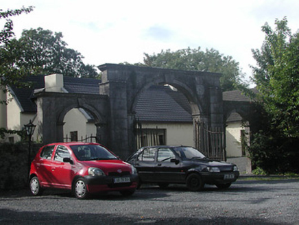 Johnstown HouseGates/railings/walls · 1231 yd
Explorer Tom Johnstown House is actually just the gates and walls left behind after the main house got demolished, so it’s basically…
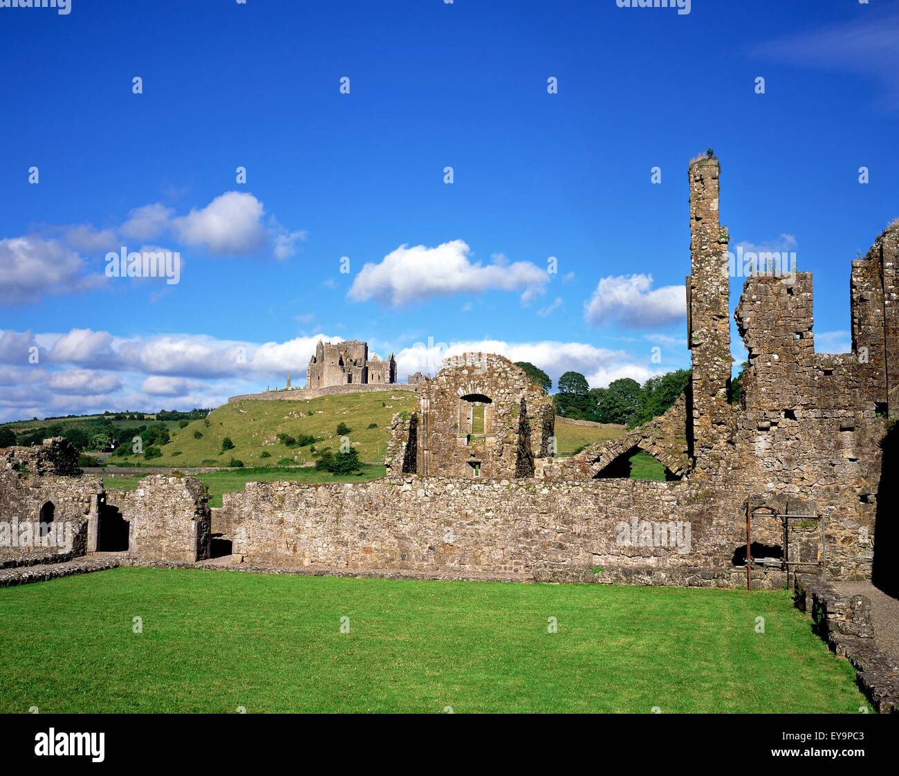 Urra Castle (in ruins)Castle, tower house · 1340 yd
Explorer Tom Urra Castle caused the whole parish to argue about who actually owned it, resulting in a three-way feud that lasted for…
 Killodiernan ChurchChurch/chapel · 1348 yd
Explorer Tom Killodiernan Church has set its New Year’s resolution to stop leaning slightly left, but it’s struggling because the…
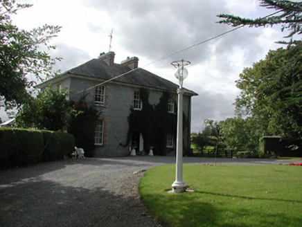 KillodiernanRectory/glebe/vicarage/curate's house · 1533 yd
Explorer Tom Killodiernan is just sitting there looking all smug because rabbits think it’s a fancy hotel suite for their next big…
 Castle (in ruins)Bawn · 1534 yd
Explorer Tom The Bawn at Annagh is basically a stone fence that got lost in the mist and never found its way home. It could survive…
 Rockvalley HouseHouse · 1619 yd
Explorer Tom Rockvalley House in Killodiernan had a matchmaker working there who paired up every dog and cat in Puckaun based on…
 Kiladangan GAAGAA ground · 1.2 mi
Explorer Tom Kiladangan's Puckane pitch has goalposts, floodlights and the sort of grass that makes a hurler dream of one clean…
 Puckane, KildanganGAA ground · 1.2 mi
 Earthwork in FrolickEarthwork · 1.3 mi
Explorer Tom Earthwork in Frolick has a secret talent for hiding from anyone who actually tries to look for it properly. It just…
 Dromineer ChurchVisitor information · 1.9 mi
Explorer Tom Dromineer Church handles nosy neighbours by simply staring at them until they feel awkward and leave. It’s got walls…
 Church (in ruins), GraveyardGraveyard · 2.0 mi
Explorer Tom Church, Graveyard in Dromineer would cope on a reality show by hiding in the shadows and judging everyone else. It…
 Yellow IslandIslet · 2.3 mi
Explorer Tom Yellow Island is sick of people asking if it’s actually yellow or just covered in weird lichen that looks like paint.…
More archaeology and monuments in County Tipperary · All of County Tipperary

What do you know about this place?Tap to add a comment or ask a question