What is recorded here
The curve in the roadway to the E of the graveyard (WM020-054001-) possibly indicates the presence of an Early Christian ecclesiastical enclosure (Swan 1988, 20).
Compiled by: Caimin O’Brien
Date of upload: 9 October 2015
The monument record does not grant public access. Check the route and ask the landowner before entering private land.
- What survives
- Recorded monument
Places near here
 Corbally Burial GroundChurch · 19 yd
 Edmondstown Castle (in Ruins)Castle, tower house · 438 yd
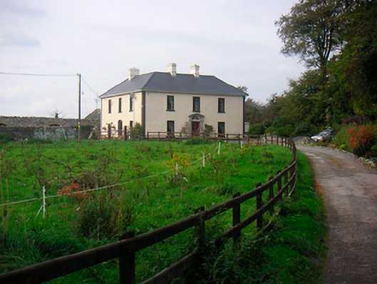 Millarstown Househouse · 575 yd
 Tober LastraghHoly well · 1270 yd
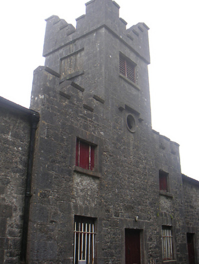 Lisnabin Castlestables, outbuilding · 1658 yd
 CastleCastle, motte · 1695 yd
 GinkgoGinkgo · 2.4 mi
 ScregganWood · 5.3 mi
 Croppies' GraveMemorial · 9.4 mi
 Partially hachuredFairy fort / earthen ringfort · 1561 yd
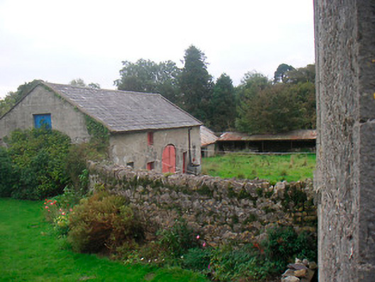 Huntingdon Houseoutbuilding · 1.0 mi
 Man-made underground passage in Higginstown (farbill By.)Man-made underground passage · 1.1 mi