What is recorded here
Oblique aerial photograph taken 17/07/1971 shows the outline of a circular-shaped ecclesiastical enclosure (approx. diam. 150m) with medieval ruins of Clonagh Church (LI028-066002-) and graveyard standing in centre (CUCAP BGJ060). Begley (1906, 112) described the site as '(Cluianeach, i.e., insular meadow of horses). The church is built on an elevated position, and in former times the land around it used to be flooded, which accounts for the first part of the name. It consists of a nave and choir, the walls of the former indicate great age, but the choir arch is modern and may have been added on after the coming of the Normans. Near this church is a holy well [LI028-067----] dedicated to St. Ciaran of Clonmacnoise, whose feast is still kept on the 9th of September in the modern parish of Coolcappa'.
Oblique aerial photograph taken 17/07/1971 shows the outline of a circular-shaped ecclesiastical enclosure (approx. diam. 150m) with medieval ruins of Clonagh Church (LI028-066002-) and graveyard standing in centre (CUCAP BGJ060). Begley (1906, 112) described the site as '(Cluianeach, i.e., insular meadow of horses). The church is built on an elevated position, and in former times the land around it used to be…
From the National Monuments Service (Archaeological Survey of Ireland) record LI028-066001
The monument record does not grant public access. Check the route and ask the landowner before entering private land.
- What survives
- Recorded monument
Places near here
Photo credits
- National Inventory of Architectural Heritage
- Mike Searle, Geograph · CC BY-SA 2.0
- Willow, Wikimedia Commons · CC BY 2.5
- Created by Kglavin Modified Aug 2007 by Mike Christie, Wikimedia Commons · CC BY-SA 3.0
- Vadim Manuylov, Wikimedia Commons · CC BY-SA 3.0
- A.-K. D., Wikimedia Commons · CC BY-SA 4.0
St. Kierans WellHoly well · 460 ydSt. Kieran's WellSpring · 466 yd bridge738 ydKilscannell ChurchChurch/chapel · 1497 ydpost box1676 ydkiln1.4 miCastle MatrixCastle · 1.9 miCastle MatrixCastle, tower house · 1.9 miEuropean ash2.8 miArdagh FortArchaeological place · 3.2 miMonterey Cypress8.8 miSaint Ite's WellSpring · 9.7 mi
 bridge738 yd
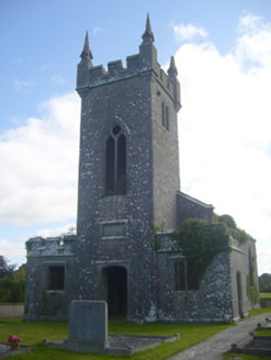 Kilscannell ChurchChurch/chapel · 1497 yd
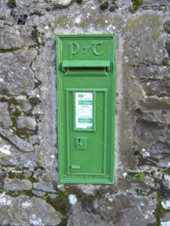 post box1676 yd
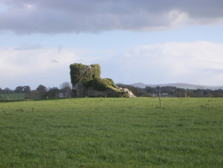 kiln1.4 mi
 Castle MatrixCastle · 1.9 mi
 Castle MatrixCastle, tower house · 1.9 mi
 European ash2.8 mi
 Ardagh FortArchaeological place · 3.2 mi
 Monterey Cypress8.8 mi
 Saint Ite's WellSpring · 9.7 mi
More archaeology and monuments in County Limerick · All of County Limerick
What do you know about this place?