What is recorded here
Situated in a low-lying position on a gently undulating landscape. A circular grass-covered area (diam. c. 70m) defined by a low earthen bank is visible on an aerial photograph (L. Swan). The circular head of a high cross (H 0.42m; Wth 0.22m) with a solid ring (diam. 0.28m; T 7.5cm) and a crucifixion on one side, which had been found in ploughing in a field adjoining a field known as ‘the Church field’, was acquired by the National Museum of Ireland in 1978 (SMR file). (Harbison 1992, 1, 25)
The above description is derived from the published 'Archaeological Inventory of County Meath' (Dublin: Stationery Office, 1987). In certain instances the entries have been revised and updated in the light of recent research.
Compiled by: Michael Moore
Date of revision: 11 December, 2014
The monument record does not grant public access. Check the route and ask the landowner before entering private land.
- What survives
- Recorded monument
Places near here
 CrossCross, High cross · 4 yd
 CastleCastle, motte · 937 yd
 Loughbrackan FortCastle, motte and bailey · 1123 yd
 Font in LoughbrackanFont · 1284 yd
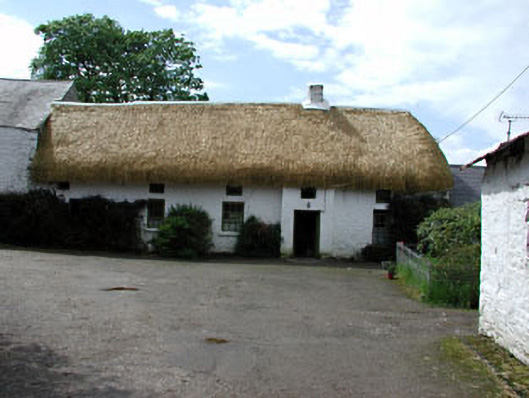 Yellowfordbridge Corn Millmiller's house · 1758 yd
 Yellow Ford Bridgebridge · 1.1 mi
 Drumran HillMountain / peak · 1.7 mi
 Ugly HillMountain / peak · 1.9 mi
 Nobber GreenwayMemorial · 2.8 mi
 Headstown ForestForest · 3.0 mi
 Common LimeCommon Lime · 3.5 mi
 Graveyard in Richardstown (ardee By., Richardstown Par.)Graveyard · 9.3 mi