
What is recorded here
On low-lying ground. A low, oval-shaped mound of earth and stone (106.8m NE-SW; 87.4m NW-SE) is defined by an irregular scarp with some traces of a bank of earth and stone. It is divided into unequal portions by a NW-SE field boundary, which marks the division between the two townlands. The larger portion, to the NE, is also divided into roughly equal portions by a NE-SW field boundary. The site is known locally as a 'fort' and a report in 1978 (SMR file) noted that, according to the landowner, it was an 'old grave yard'. This belief, coupled with its size, suggests that it is possibly an early ecclesiastical enclosure. A holy well (LF011-053----) lies c. 220m to the SE.
Compiled by: Patrick F. O'Donovan, Caimin O'Brien
Date of upload: 4 June 2012
The monument record does not grant public access. Check the route and ask the landowner before entering private land.
- What survives
- Recorded monument
Places near here
 Tober FelimHoly well · 237 yd
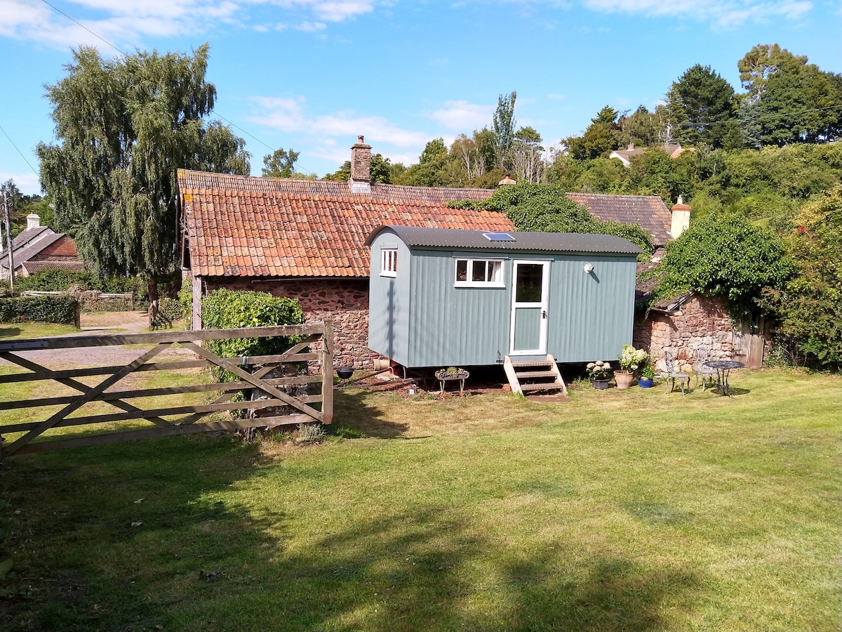 Hut site in ToberfelimHut site · 784 yd
 Church in KilbrideChurch · 926 yd
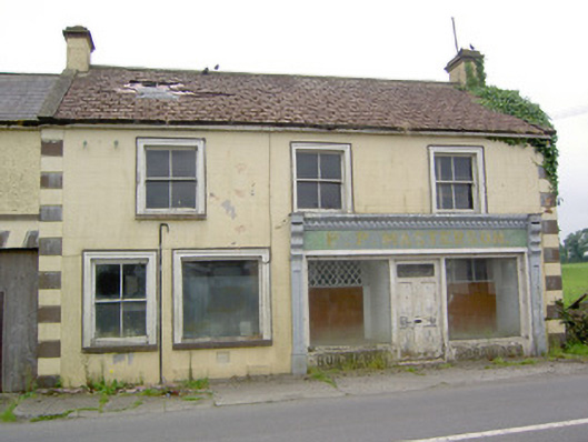 P.P. Mastersonhouse · 1449 yd
 Bakers FortCastle, ringwork · 1.2 mi
 1798 Monumentmonument · 1.5 mi
 Granard MotteMotte-and-bailey castle remains · 1.5 mi
 Moat of GranardCastle, motte and bailey · 1.5 mi
 CartronfreeMountain / peak · 2.7 mi
 CarrickabaneMountain / peak · 3.1 mi
 Moynagh Upper ForestForest · 3.7 mi
 Watty's RocksIslet · 3.7 mi
Other information
Photo: Credit not shown in the picture search · Rights wording not checked; contact us if this picture should be removed