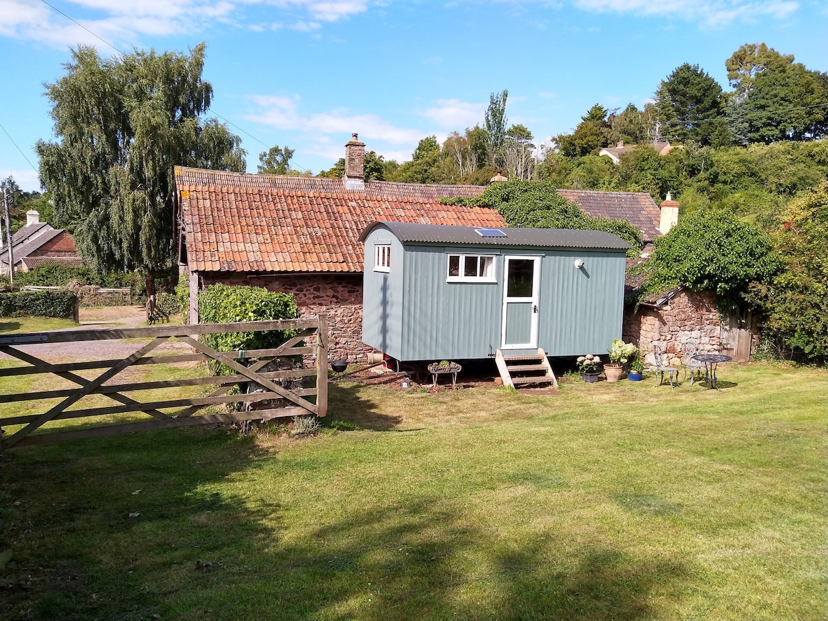
What is recorded here
On a NE-facing slope in pasture. A small, raised, subrectangular area (4.4m NW–SE; 2.25m NE–SW) enclosed by a wide, low bank of earth and stone (Wth 1.45m; int. H. 0.3m). The S half of the interior is divided into roughly two equal portions by a row of five small stones which define a low, wall-like feature (L 1.75m) aligned N–S. There is a rath (LF011-017----) c. 220m to the NE, a standing stone (LF011-072----) c. 135m to the SE and a stone circle (LF011-016----) c. 540m to the WNW.
Compiled by: Patrick F. O'Donovan
Date of upload: 22 November 2011
The monument record does not grant public access. Check the route and ask the landowner before entering private land.
- What survives
- Recorded monument
Places near here
 Dunclá or Black Pigs RaceArchaeological place · 189 yd
 Tober FelimHoly well · 735 yd
 Church in KilbrideChurch · 1514 yd
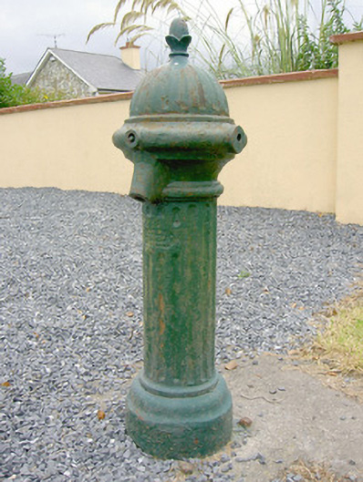 water pumpwater pump · 1688 yd
 Bakers FortCastle, ringwork · 1.5 mi
 1798 Monumentmonument · 1.8 mi
 Granard MotteMotte-and-bailey castle remains · 1.8 mi
 CastleCastle, unclassified · 1.8 mi
 CartronfreeMountain / peak · 2.4 mi
 CarrickabaneMountain / peak · 2.6 mi
 Moynagh Upper ForestForest · 3.3 mi
 Carrick RockWood · 3.3 mi
Other information
Photo: Credit not shown in the picture search · Rights wording not checked; contact us if this picture should be removed