
What is recorded here
Within a graveyard (LF011-032001-). A report in 1975 (SMR file) recorded an irregular stony area at W, which may have been the last vestiges of a building, possibly a church site. It is no longer identifiable.
Compiled by: Patrick F. O'Donovan, Caimin O'Brien
Date of upload: 5 June 2013
The monument record does not grant public access. Check the route and ask the landowner before entering private land.
- What survives
- Recorded monument
Places near here
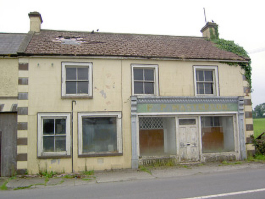 P.P. Mastersonhouse · 752 yd
 TobernamanneeveHoly well · 806 yd
 Tober FelimHoly well · 813 yd
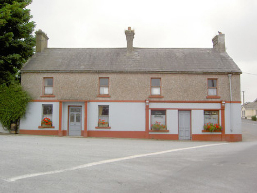 RIC barracksRIC barracks · 831 yd
 Bakers FortCastle, ringwork · 1.5 mi
 1798 Monumentmonument · 1.7 mi
 Moat of GranardCastle, motte and bailey · 1.7 mi
 Granard MotteMotte-and-bailey castle remains · 1.7 mi
 CartronfreeMountain / peak · 3.2 mi
 CarrickabaneMountain / peak · 3.3 mi
 Watty's RocksIslet · 3.8 mi
 Carrick RockWood · 3.9 mi
Other information
Photo: Credit not shown in the picture search · Rights wording not checked; contact us if this picture should be removed