What is recorded here
There is no paper file in the ASI archive for this monument. In poorly drained grassland. No surface remains visible of any archaeological feature in area marked on the RMP map.
Compiled by: Caimin O'Brien
Date of upload: 16 August 2023
The monument record does not grant public access. Check the route and ask the landowner before entering private land.
- What survives
- Recorded monument
Places near here
 ChapelChurch · 273 yd
 Partially hachuredFairy fort / earthen ringfort · 393 yd
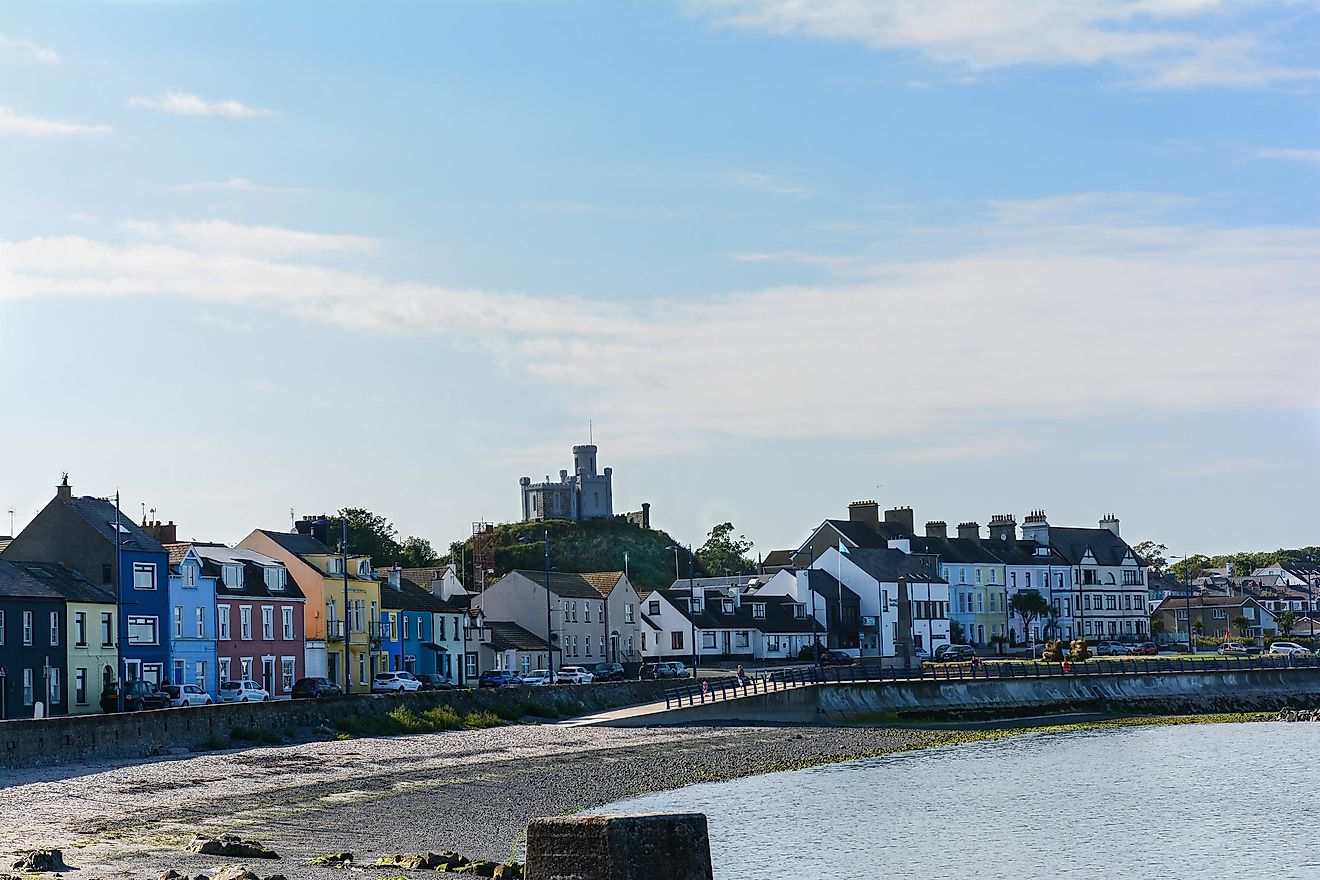 RahanduffFairy fort / earthen ringfort · 991 yd
 CastleCastle, motte · 1064 yd
 Stonehallhouse · 1303 yd
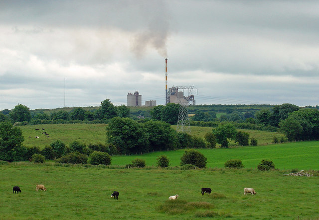 Partially indicatedCastle, motte · 1.8 mi
 Scragh Bog Nature ReserveNature reserve · 1.9 mi
 Bridge Memorial (Kenna)Memorial · 2.0 mi
 KnockeyonMountain / peak · 2.7 mi
 Church IslandIsland · 2.8 mi
 Long PlantingForest · 2.9 mi
 Srudarra IslandIslet · 3.5 mi