What is recorded here
Situated at the bottom of a S-facing slope. It is depicted as a rectangular enclosure and described as a ‘Dane’s Fort’ only on a manuscript map (21 F 15 (20) in the National Library of Ireland, which was made in 1789. It is not visible at ground level in pasture, and it does not appear on any aerial images. Its exact location is not known.
The above description is derived from the published 'Archaeological Inventory of County Meath' (Dublin: Stationery Office, 1987). In certain instances the entries have been revised and updated in the light of recent research.
Compiled by: Michael Moore
Date of revision: 12 August 2019
The monument record does not grant public access. Check the route and ask the landowner before entering private land.
- What survives
- Recorded monument
Places near here
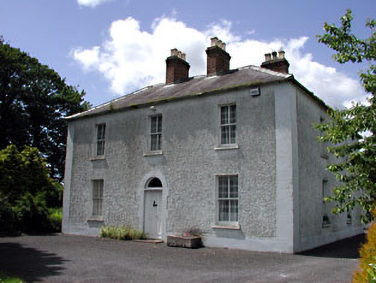 Cherryvalley Housefarm house · 1023 yd
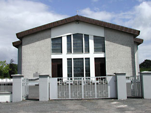 Saint Michael's Catholic Churchchurch/chapel · 1250 yd
 Enclosure in Castletown (moyfenrath Lower By.)Enclosure · 1.1 mi
 CastleCastle, unclassified · 1.2 mi
 Wych ElmWych Elm · 1.2 mi
 IndicatedFairy fort / earthen ringfort · 1.7 mi
 Dangan CastleCastle, tower house · 3.2 mi
 Saints IslandForest · 3.4 mi
 Old Bog Road made famous by Teresa Bryton 1868-1943Memorial · 5.4 mi
 Kilgar GardensHeritage attraction · 6.3 mi
 Croppies' GraveMemorial · 8.0 mi
 The Grill ShackHeritage attraction · 9.4 mi