What is recorded here
The following description is derived from both the published 'Archaeological Inventory of County Louth' (Dublin: Stationery Office, 1986) and the 'Archaeological Survey of County Louth' (Dublin: Stationery Office, 1991). In certain instances the entries have been revised and updated in the light of recent research.
Date of upload/revision: 17 July 2007
Site presumably that referred to as 'Townrath' on 1835 ed. of OS 6-inch map. A rath is described as having existed N of town walls (D'Alton 1844, 101). No visible surface trace.
The monument record does not grant public access. Check the route and ask the landowner before entering private land.
- What survives
- Recorded monument
Places near here
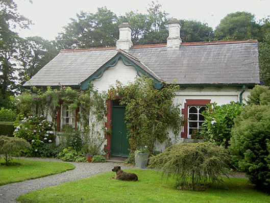 Listoke Housegate lodge · 1182 yd
 Holy well in Carstown (ferrard By; Termonfecin Par.)Holy well · 1.0 mi
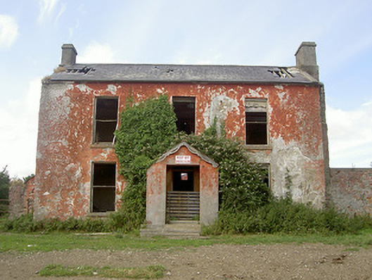 Belviewhouse · 1.0 mi
 CastleCastle, tower house · 1.1 mi
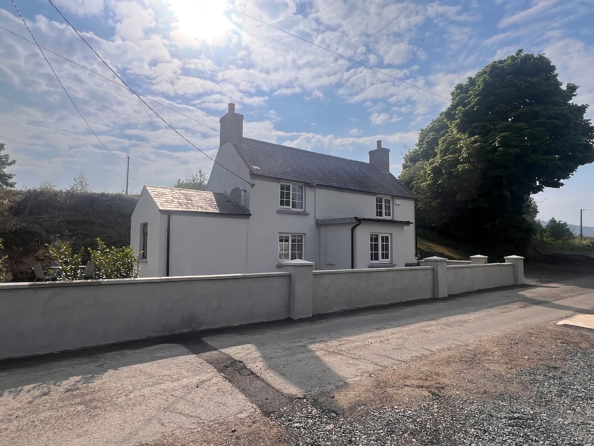 Not indicaetdEnclosure · 1.1 mi
 CarstownCastle, unclassified · 1.4 mi
 Beaulieu House and GardensHeritage attraction · 1.8 mi
 The ThoselMemorial · 1.9 mi
 Siege of Droghedasiege · 2.0 mi
 Millmount MuseumMuseum · 2.1 mi
 Newgrange Business ParkMemorial · 3.1 mi
 Yellow IslandIslet · 3.2 mi