
What is recorded here
From the National Monuments Service (Archaeological Survey of Ireland) record CO083-138
Places near here
Photo credits
- National Inventory of Architectural Heritage
- Maker not stated on source page, www.pinterest.com
- Richard Fensome, Geograph · CC BY-SA 2.0
- Maker not stated on source page, en.wikipedia.org
- Maker not stated on source page, www.flickr.com
- Maker not stated on source page, www.istockphoto.com
- me, Wikimedia Commons · Public domain
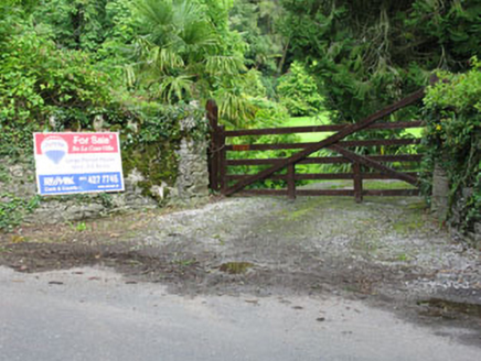 De Lacour HouseCountry house · 403 yd
Explorer Tom De Lacour House has an ornamental tower that screams 'look at how rich we were'. The eaves hang low like a heavy…
 Dunisky Church (Site of)Graveyard · 668 yd
Explorer Tom Dunisky Church is a graveyard on a hillock that looks like it’s been sitting there thinking about its life choices for…
 Beamish's TowerFolly · 706 yd
Explorer Tom Beamish's Tower is a folly, which means someone got rich and decided to build a tower just to annoy their neighbours.…
 Church in Kilbarry (muskerry West By., Ballinadee Par.)Church · 1624 yd
Explorer Tom Church in Kilbarry is heavily overgrown and marked by a stone erected in 1980. It would review its own visitors as…
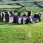 DolmenBoulder-burial · 1.2 mi
Explorer Tom Dolmen in Ardaneneen is a massive rounded boulder resting on three support stones by the Cummer River valley. It looks…
 Clearagh HouseHouse · 1.5 mi
Explorer Tom Clearagh House in Clearagh has convinced the local rabbits that its slate roof is actually a giant blackboard where…
 Lee ViewHouse · 1.6 mi
Explorer Tom Lee View in Inchinashingane would teach history by making you do push-ups for every date you get wrong. It’s a…
 Wedge tomb in Knockane (muskerry West By.)Wedge tomb · 2.2 mi
Explorer Tom Wedge tomb in Knockane would get on its tombstone: 'Here lies a gallery that collapsed before anyone could properly…
 The Gearagh Nature ReserveNature reserve · 3.6 mi
Explorer Tom The Gearagh Nature Reserve remembers the time a priest lost a bet there and had to wear a penguin suit for a week…
 filling pump/station4.5 mi
Explorer Tom Filling pump or station in Teergay is a rare survivor from when cars were still learning how to drive. It’s standing…
 Raleigh HouseFolly · 4.5 mi
Explorer Tom Raleigh House is a cheeky little folly tower on a rocky outcrop, built around 1840 just to catch your eye. It’s got…
 Carrigboy WoodWood · 4.7 mi
Explorer Tom Carrigboy Wood would describe the 1800s to a teenager as ‘the era before phones when people just stood around looking…
More archaeology and monuments in County Cork · All of County Cork

What do you know about this place?Tap to add a comment or ask a question