What is recorded here
Not visible at ground level. Of doubtful archaeological interest. Potential site identified as a cropmark on GSI aerial photograph taken in 1973 (GSI N 588/9).
Compiled by: Caimin O'Brien.
Date of upload: 23 May 2011
The monument record does not grant public access. Check the route and ask the landowner before entering private land.
- What survives
- Recorded monument
Places near here
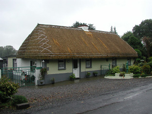 farm housefarm house · 1110 yd
 Enclosure in GarrEnclosure · 1236 yd
 Monastery (Site of)Building · 1400 yd
 Moat HillMountain / peak · 1441 yd
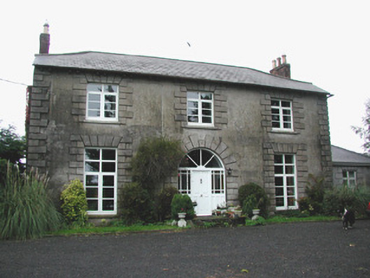 Coolville Househouse · 1.1 mi
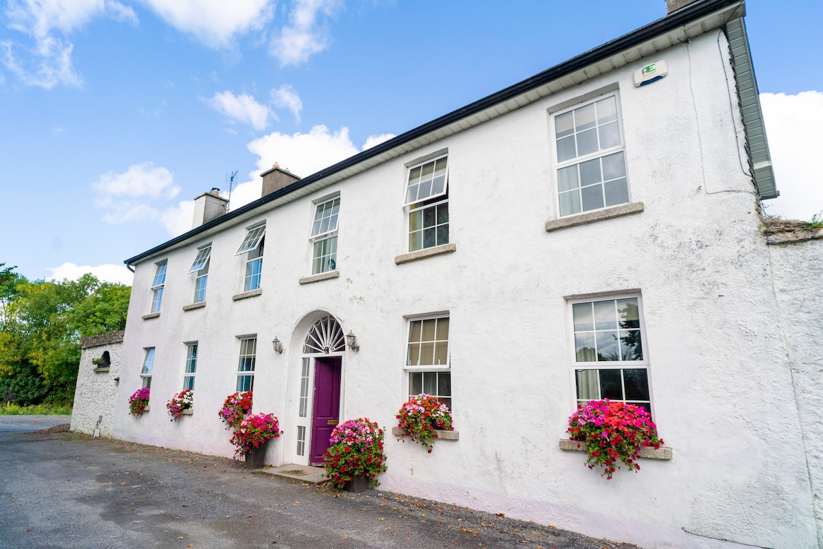 Ballyburly Ho.Castle, unclassified · 1.4 mi
 Knockdrin HillMountain / peak · 1.5 mi
 Holy PlantationForest · 2.5 mi
 Bawn in BallyheashillBawn · 2.5 mi
 Victoria PlantationWood · 2.7 mi
 Croghan HillMountain / peak · 3.9 mi
 Croghan Hill WalkVisitor information · 4.1 mi