What is recorded here
In grassland on the former demesne lands of Screggan Manor located 170m to WNW, 50m S of the driveway to the house now abandoned. Outline of circular shaped earthwork (diam. c. 47m) visible on Transport Infrastructure Ireland (TII) Lidar Survey captured between May 2010 and May 2011 (https://dcenr.maps.arcgis.com/apps/webappviewer/index.html?id=b7c4b0e763964070ad69bf8c1572c9f5). The location of this earthwork to the S of the driveway on the designed landscape of Screggan Manor may indicate that this earthwork represents the remains of a designed landscape feature, such as a tree-ring rather than that of a ringfort. The earthwork is located in an area of woodland plantation as shown on the 1838 ed. OSi 6-inch map.
See attached Lidar Survey plot showing circular-shaped earthwork.
Compiled by: Caimin O’Brien based on details provided by Gavin Walsh
Date of upload: 9 November 2021
The monument record does not grant public access. Check the route and ask the landowner before entering private land.
- What survives
- Recorded monument
Places near here
 Wild CherryWild Cherry · 167 yd
 Ardnagross WellSpring · 684 yd
 Enclosure in CloghanbaneEnclosure · 710 yd
 Sugar HillMountain / peak · 861 yd
 Big WoodWood · 892 yd
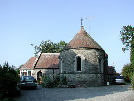 Saint Bartholomew's Church (Lynally)church/chapel · 1525 yd
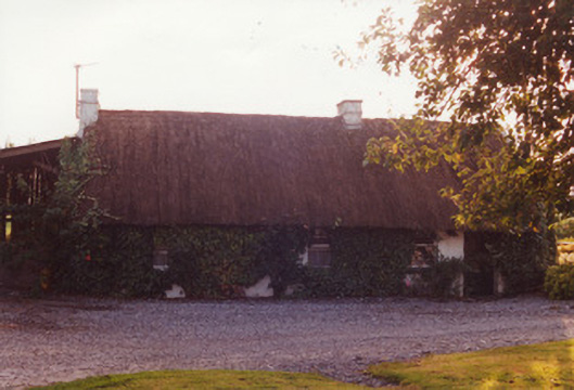 farm housefarm house · 1558 yd
 Mound in Lynally GlebeMound · 1599 yd
 IndicatedCastle, unclassified · 1660 yd
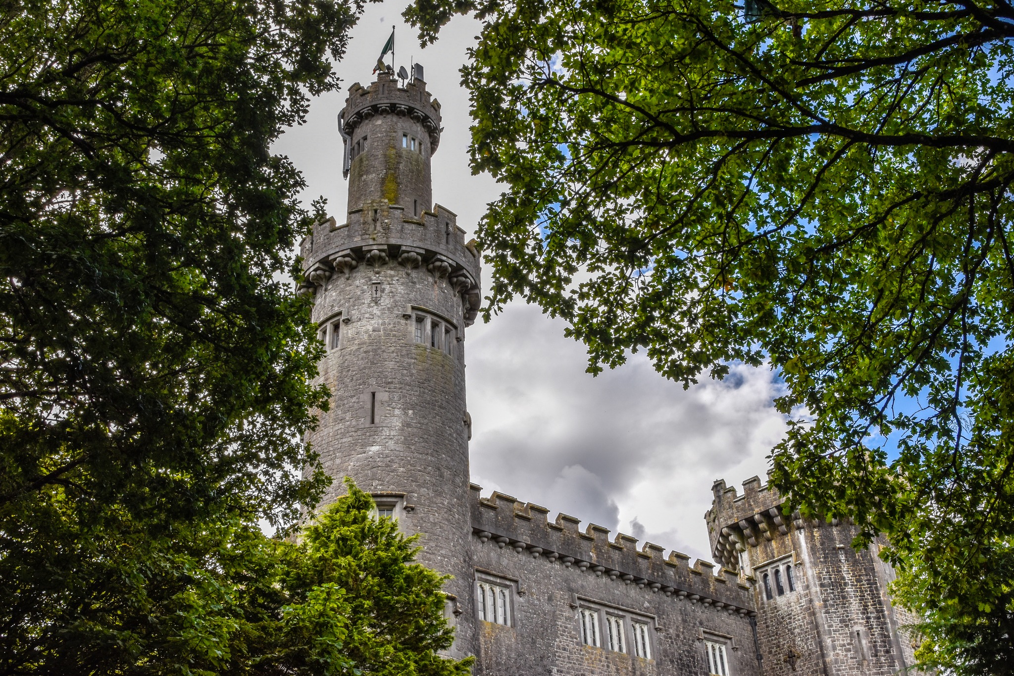 CastleCastle, unclassified · 1.2 mi
 Christ's WellSpring · 1.5 mi
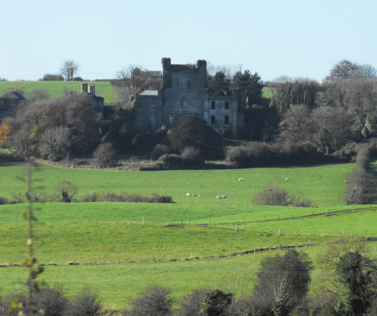 St O'Hara's HillMountain / peak · 1.7 mi