
Places near here
Photo credits
- David Hawgood, Geograph · CC BY-SA 2.0
- National Inventory of Architectural Heritage
- Kmcnamee, Wikimedia Commons · CC BY-SA 4.0
- Garry Dickinson, Wikimedia Commons · CC BY-SA 2.0
- Golfing in Ireland; photographer not stated, Source publisher
 Jackie PowerMemorial · 389 yd
Explorer Tom Jackie Power in County Limerick has a statue that the local sheep seem to respect more than any other monument nearby.…
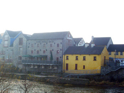 mill (water)466 yd
Explorer Tom The mill in Rivers is probably grinding flour for ghosts when nobody’s looking. It stands there with its big, imposing…
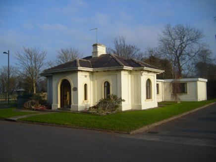 Woodstown HouseGate lodge · 646 yd
Explorer Tom Woodstown House gate lodge is planning its retirement by just standing there, judging everyone who drives past…
 Ballyclogh MillsMill (water) · 728 yd
Explorer Tom Ballyclogh Mills is a water mill with limestone walls so solid they could outlast several empires, and it’s probably…
 Ballyclogh HouseHouse · 1351 yd
Explorer Tom Ballyclogh House has an imaginary twin across the sea that is constantly texting it selfies, but they never meet. It’s…
 Park HouseHouse · 1673 yd
Explorer Tom Park House in Castletroy swears it’s older than the Regency era, which is a bit of a stretch. Those overhanging eaves…
 Monaleen GAA pitchGAA ground · 1.2 mi
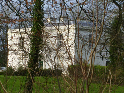 Rich HillCountry house · 1.2 mi
Explorer Tom Rich Hill is sick of being asked if it’s actually rich, so it just smirks. The classical façade is balanced, but its…
 Castle Troy (in ruins)Castle, tower house · 1.2 mi
Explorer Tom Castle Troy would ask Saint Patrick to bless its foundation stones. It stands on the Shannon bank, having survived…
Castle TroyRuins · 1.2 miExplorer Tom Castle Troy was in a massive feud with the next village over a single stolen turnip, which escalated into a…
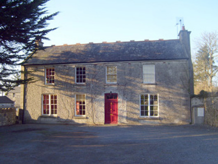 Raheen HouseHouse · 1.2 mi
Explorer Tom Raheen House in Raheen is a gentleman farmer’s dream that got a little too fancy with its chimney flue. Map makers got…
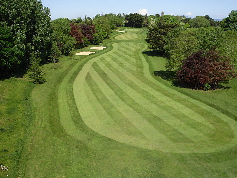 Castletroy Golf ClubGolf course · 1.6 mi
More archaeology and monuments in County Limerick · All of County Limerick

What do you know about this place?Tap to add a comment or ask a question