
What is recorded here
From the National Monuments Service (Archaeological Survey of Ireland) record MO019-001
Places near here
Photo credits
- National Inventory of Architectural Heritage
- Maker not stated on source page, storage.googleapis.com
- Kenneth Allen, Geograph · CC BY-SA 2.0
- Maker not stated on source page, www.pinterest.com
- Maker not stated on source page, monumentalireland.ie
- Maker not stated on source page, ru.pinterest.com
- Drumhowan GAA club; individual photographer not named, drumhowan.gaa.ie
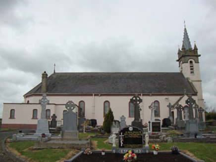 Catholic Church of Our Lady of the Most Holy RosaryChurch/chapel · 1180 yd
Explorer Tom Catholic Church of Our Lady of the Most Holy Rosary is proud of its zinc-clad tower, added in 1897. It’s been around…
 post box1414 yd
Explorer Tom Post box in Cornahoe, Monaghan, is wedged into a school wall like it owns the place. Rumor says a bishop once refused…
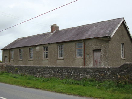 Corvoy National SchoolSchool · 1424 yd
Explorer Tom Corvoy National School has a local who claims he invented the concept of homework inside these four walls in 1902. He…
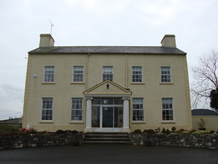 Glebe HouseRectory/glebe/vicarage/curate's house · 1671 yd
Explorer Tom Glebe House in Terrygeely would survive a zombie attack by locking its single front door. It’s been sitting there since…
 Saint Patrick's Church (Tullycorbet)Church/chapel · 1.1 mi
Explorer Tom Saint Patrick's Church (Tullycorbet) was saved by a hero nobody remembers who fixed the spire. It’s ruined but the cut…
 Fairy fort / earthen ringfort in Mullan (monaghan By)Fairy fort / earthen ringfort · 1.1 mi
Explorer Tom Fairy fort / earthen ringfort in Mullan was built by someone who really wanted to make sure you couldn't get in easily.…
 Creevagh Reformed Presbyterian ChurchChurch/chapel · 1.2 mi
Explorer Tom Creevagh Reformed Presbyterian Church thinks Dublin tourists are all wind and no substance, like a baguette that’s gone…
 Fairy fort / earthen ringfort in Cornacreeve (monaghan By., Tullycorbet Par.)Fairy fort / earthen ringfort · 1.6 mi
Explorer Tom Fairy fort / earthen ringfort in Cornacreeve gave up gossip for Lent, which is a big deal for a mound of dirt. It’s…
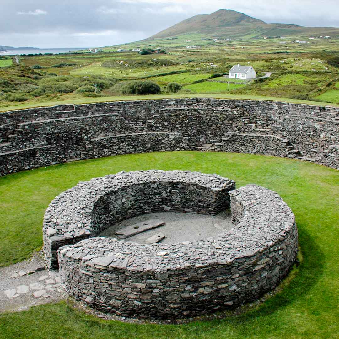 Fairy fort / earthen ringfort in Cordevlis SouthFairy fort / earthen ringfort · 1.6 mi
Explorer Tom Fairy fort in Cordevlis South is sitting on top of a drumlin ridge like it owns the place. It’s got a bank and a ditch…
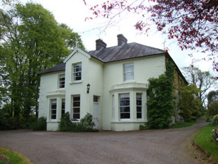 Springfield HouseHouse · 1.7 mi
Explorer Tom Springfield House would say in a job interview: 'I have excellent references from 1850.' It’s got a tennis lawn and…
 Mapped graveyardGraveyard · 5.4 mi
Explorer Tom this Mapped graveyard in County Monaghan has a ghost that’s too lazy to haunt it because he prefers to nap in the warm…
 Páirc Mhic Eoin, Drumhowan GeraldinesGAA ground · 5.6 mi
More archaeology and monuments in County Monaghan · All of County Monaghan

What do you know about this place?Tap to add a comment or ask a question