What is recorded here
Situated on a low rise of ground with good views in all directions. In 1612 the 'manor, castle, bawn town and lands of Maykarke were granted to John Cantwell (Cal. pat. Rolls, Ire., Jas I, 197). A number of earthworks (TN047-068006) have shown up on aerial photographs taken in 1966 (CUCAP, AOZ 83/APD 37) N and E of the tower house and bawn (TN047-068002/004)). One of these consists of a ditch (Wth 2m; D 0.81m) aligned E-W, 8.7m outside and parallel to the N side of the bawn. Stone projects out from the edge of the N face of the fosse/ditch. This ditch shows up on aerial photographs (CUCAP, AOZ 83, APD 37). There is also a moated site (TN047-068007) to the W of the tower house (TN047-068002). Though the earthworks don't conform to a village pattern they probably relate to medieval settlement at the site
The above description is derived from 'The Archaeological Inventory of County Tipperary. Vol. 1 - North Tipperary' compiled by Jean Farrelly and Caimin O'Brien (Dublin: Stationery Office, 2002). In certain instances the entries have been revised and updated in the light of recent research.
Date of upload/revision: 22 September 2008
The monument record does not grant public access. Check the route and ask the landowner before entering private land.
- What survives
- Recorded monument
Places near here
 Bawn in MoycarkyBawn · 109 yd
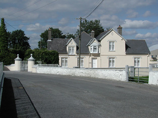 Moycarky Cottagehouse · 315 yd
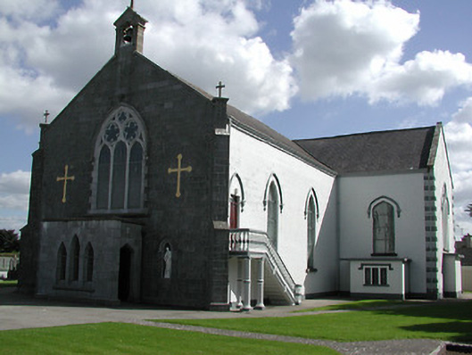 Saint Peter's Catholic Churchchurch/chapel · 333 yd
 Enclosure in MoycarkyEnclosure · 1210 yd
 CastleCastle, ringwork · 1327 yd
 Gift Horse GalleryGallery · 1422 yd
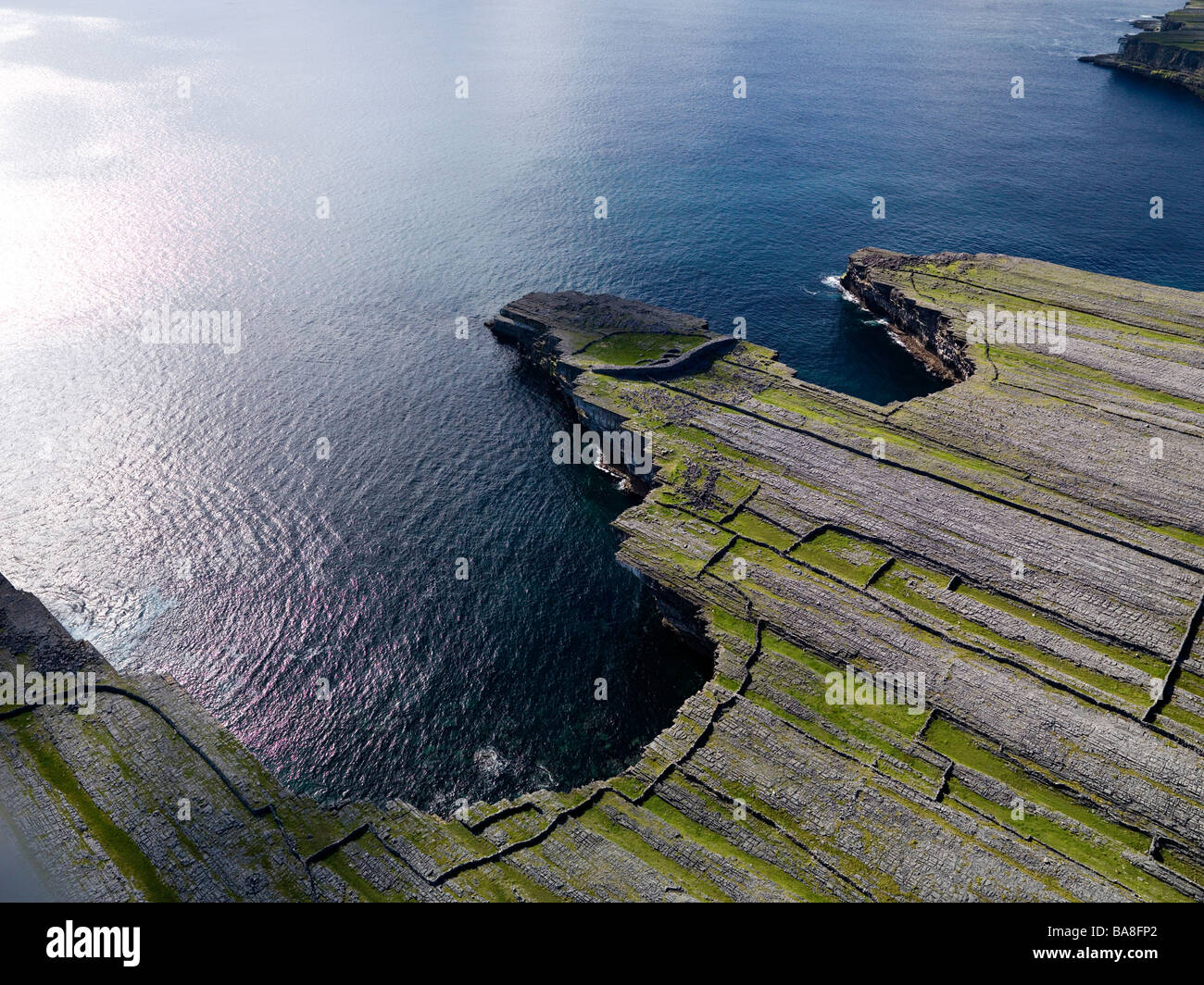 Black FortFairy fort / earthen ringfort · 1473 yd
 Horse and JockeyVisitor information · 1.5 mi
 Sweet ChestnutSweet Chestnut · 2.3 mi
 Killough Hill (site of)Mountain / peak · 2.4 mi
 European ashEuropean ash · 2.5 mi
 Gobban Saer's GraveArchaeological place · 2.9 mi