What is recorded here
Bones appeared when the rectangular ground was last tilled. The earthwork in Mohullen now lies uncultivated, marked only by a faint bank and local memory. It is no longer worked, yet it remains present in the stories told beside it.
The following description is derived from the published 'Archaeological Inventory of County Carlow' (Dublin: Stationery Office, 1993). In certain instances the entries have been revised and updated in the light of recent research.
Date of upload/revision: 17 July 2007
Known locally as 'the Rath'. Associated with numerous traditions and beliefs. Bones found when last tilled. Now uncultivated. Rectangular area (17m N-S, 14m E-W) with slight traces of possible bank.
The monument record does not grant public access. Check the route and ask the landowner before entering private land.
- What survives
- Recorded monument
Places near here
 Kilcullaun Church (in ruins), GraveyardChurch · 449 yd
 Enclosure in TinnacarrigEnclosure · 1191 yd
 Kyle Church (in ruins), Graveyard (site of)Church · 1199 yd
 Saint Patrick's Catholic Churchchurch/chapel · 1430 yd
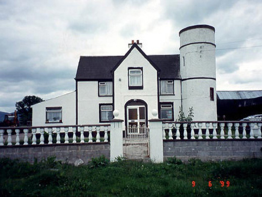 Tower Housefarm house · 1.0 mi
 The Barrow WayVisitor information · 1.8 mi
 Castle (in ruins)Castle, tower house · 2.1 mi
 Coonogue WoodForest · 2.3 mi
 ClashgannyWood · 2.4 mi
 General Thomas CloneyMemorial · 3.7 mi
 Keating's WellSpring · 3.9 mi
 KnockroeMountain / peak · 3.9 mi