What is recorded here
The oval earthwork in Moher stands on a gentle slope facing the River Shannon, where a circular fort appeared on an 1835 map. It is now a grass-covered mound, higher at the west and lower at the east, with recent quarrying marked along its north-east edge. The shape may have been a defended place, a boundary marker or a forgotten neighbourhood centre. Whatever it was, the river still passes within eighty metres, carrying the life of the land past the stones.
Situated on a gentle W-facing slope with the River Shannon c. 80m to the W. A circular embanked enclosure (ext. diam. c. 35m) is depicted on the 1835 edition of the OS 6-inch map where it is described as a ‘Fort’. This is a grass-covered oval earth and stone mound (dims 42.3m N-S; 38.6m E-W; H 0.8m at E to 3.3m at W) with signs of recent quarrying along the perimeter at NE.
The above description is derived from 'The Archaeological Inventory of County Leitrim' compiled by Michael J. Moore (Dublin: Stationery Office, 2003). In certain instances the entries have been revised and updated in the light of recent research.
Compiled by: Michael Moore
Date of upload/revision: 15 December 2011
Amended; 7 January 2020
The monument record does not grant public access. Check the route and ask the landowner before entering private land.
- What survives
- Recorded monument
Places near here
 Pigeon IslandIslet · 542 yd
 Roosky Bridgebridge · 583 yd
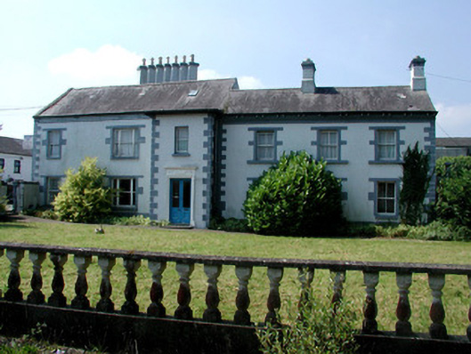 Mount Carmelhouse · 593 yd
 Rabbit IslandIslet · 1621 yd
 Cavan & Leitrim RailwayMuseum · 1.5 mi
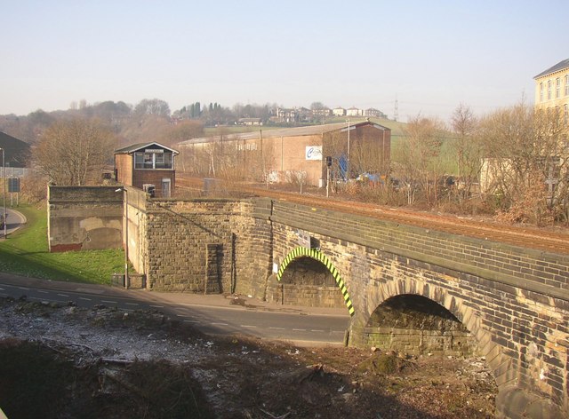 PlatformPlatform, peatland · 1.7 mi
 StructureStructure, peatland · 1.8 mi
 Coarse IslandForest · 3.5 mi
 OratoryCastle, tower house · 4.4 mi
 St. Barry's WellSpring · 4.4 mi
 CastleCastle, unclassified · 4.5 mi
 Western HemlockWestern Hemlock · 4.6 mi