
What is recorded here
From the National Monuments Service (Archaeological Survey of Ireland) record MA093-081
Places near here
Photo credits
- Maker not stated on source page, monumentalireland.ie
- Maker not stated on source page, en.wikipedia.org
- Maker not stated on source page, www.tripadvisor.com.sg
- Maker not stated on source page, storage.googleapis.com
- Maker not stated on source page, www.mayo-ireland.ie
- Maker not stated on source page, www.pinterest.com
- National Inventory of Architectural Heritage
- Golfing in Ireland; photographer not stated, Source publisher
- James Killeen / Mayo Football Talk, www.mft.ie
- Maker not stated on source page, commons.wikimedia.org
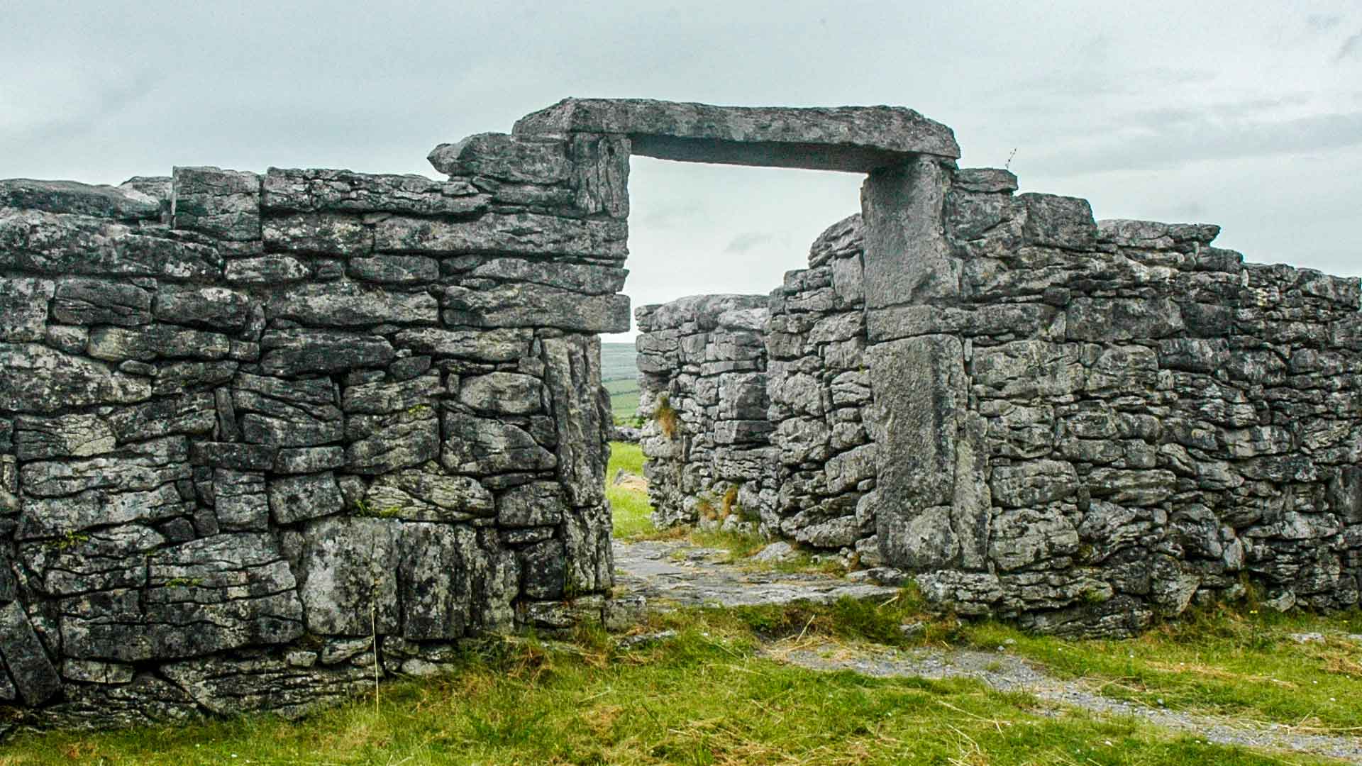 Fairy fort / earthen ringfort in CaveFairy fort / earthen ringfort · 420 yd
Explorer Tom Fairy fort / earthen ringfort in Cave is perched on a ridge like it’s waiting for the fairies to call a cab home from…
 Church in KilmanninChurch · 488 yd
Explorer Tom Church in Kilmannin has a rivalry with more famous places. It sits next to a commercial quarry, which is not the most…
 Ogham stone in KilmanninOgham stone · 488 yd
Explorer Tom Ogham stone in Kilmannin is carved with ancient insults that no one can read anymore. It’s basically a stone phone with…
 Fairy fort / earthen ringfort in Annagh (costello By.)Fairy fort / earthen ringfort · 580 yd
Explorer Tom Fairy fort / earthen ringfort in Annagh is playing hide-and-seek with me. It’s built on a ridge next to the loughs, and…
 Bridge in ToorareeBridge · 1236 yd
Explorer Tom Bridge in Tooraree is proud of being possibly just a horizontal mill pretending to be a bridge. It loves the confusion…
 CastleCastle, unclassified · 1267 yd
Explorer Tom Castle at Annagh makes a very specific creaking sound at night that sounds like someone dropping a bag of potatoes on a…
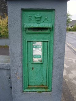 post box1544 yd
Explorer Tom Post box in Carrownluggaun is a wall-mounted box with King Edward VII’s cipher on display for all to see. It’s a…
 Ballyhaunis CourthouseCourt house · 1596 yd
Explorer Tom Ballyhaunis Courthouse hears everything through its walls, including your bad excuses. It thinks it's much smarter than…
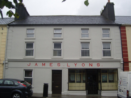 James LyonsHotel · 1615 yd
Explorer Tom James Lyons hotel in Carrownluggaun is being picked on by the wind because it won’t admit it’s cold. It was a…
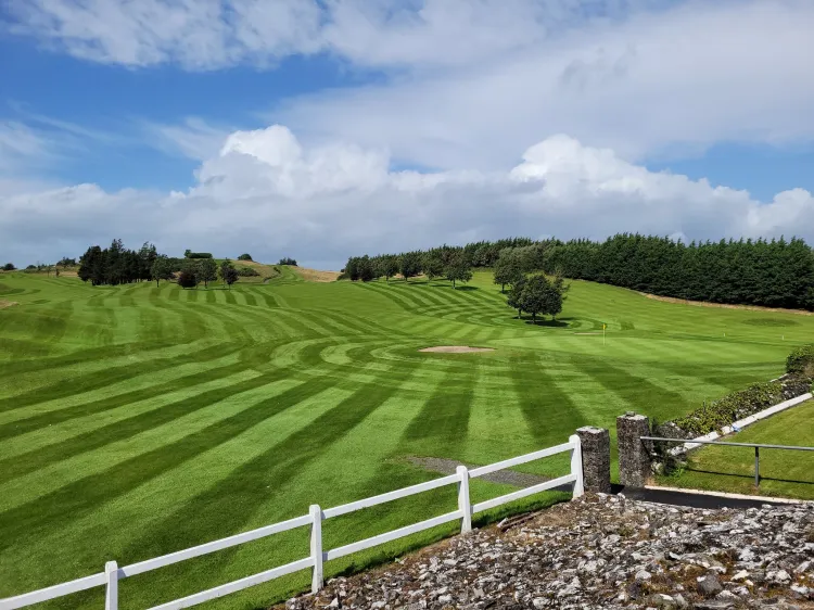 Ballyhaunis Golf ClubGolf course · 1.3 mi
 Ballyhaunis GAA ParkGAA ground · 1.4 mi
 Graveyard in ChurchparkGraveyard · 2.6 mi
Explorer Tom Graveyard in Churchpark rates every visitor’s outfit from one to ten based on how muddy their boots get. It’s a strict…
More archaeology and monuments in County Mayo · All of County Mayo

What do you know about this place?Tap to add a comment or ask a question