What is recorded here
In pasture, on a gentle SW-facing slope. Associated with enclosure (TS070-071002-) and castle (TS070-071001-). No visible surface trace except linear feature (map dims. L 40m N-S) depicted on the 1903-04 edition OS 6-inch map to SW of enclosure (TS070-071002-). No visible surface trace of irregular anomaly identified on aerial photographs (GSI S.654/3 and S.638/9) to NW of enclosure.
Compiled by: Jean Farrelly
Date of upload: 26 August 2011
The monument record does not grant public access. Check the route and ask the landowner before entering private land.
- What survives
- Recorded monument
Places near here
 (Site of) Killerk CastleCastle, unclassified · 110 yd
 Enclosure in Jossestown,killerk NorthEnclosure · 613 yd
 Newtown Househouse · 953 yd
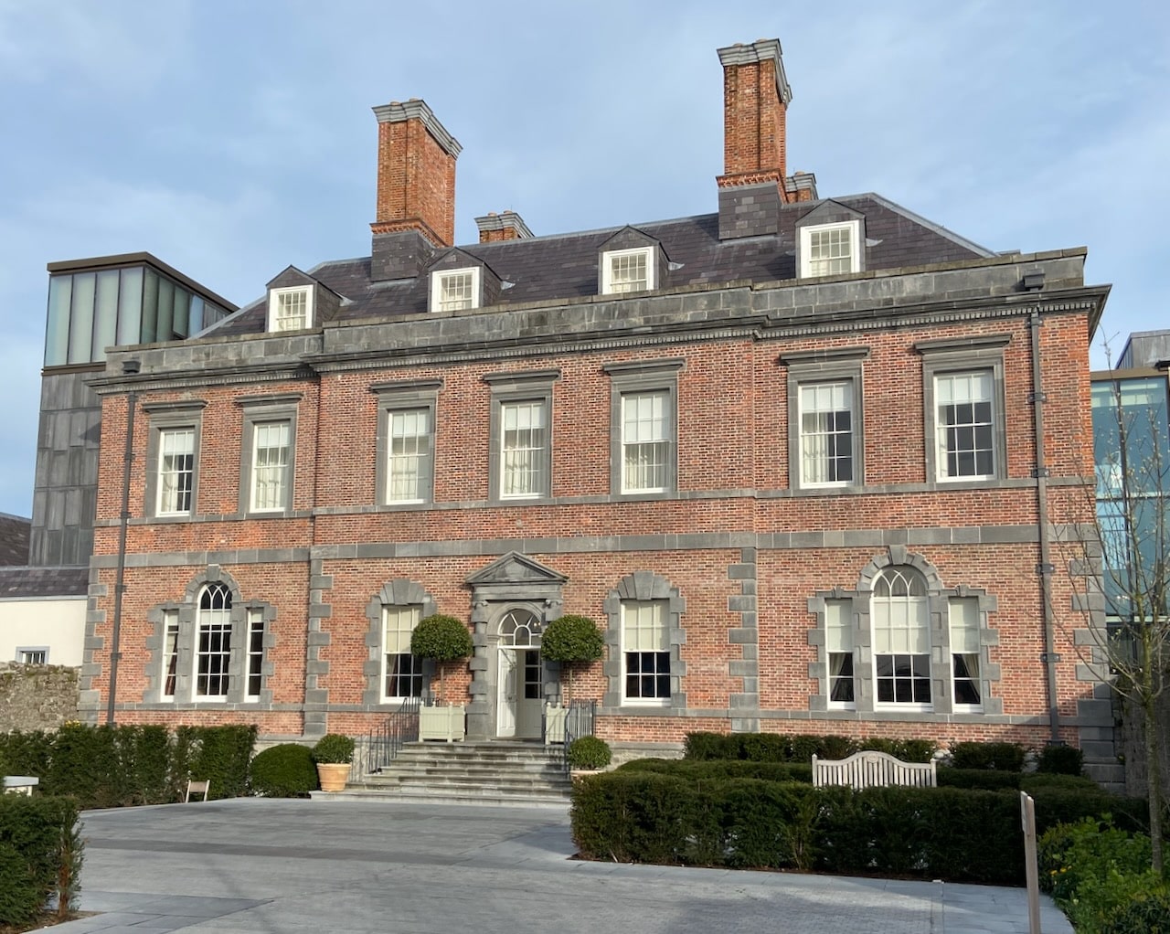 Enclosure in RedcityEnclosure · 1148 yd
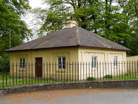 Lakefieldgate lodge · 1326 yd
 Rathdrum Castle (in ruins)Castle, tower house · 1421 yd
 Pedunculate OakPedunculate Oak · 1579 yd
 Grove WoodForest · 1.2 mi
 East GateMemorial · 1.7 mi
 Kilknockan HillMountain / peak · 2.8 mi
 CarrigdotiaMountain / peak · 4.8 mi
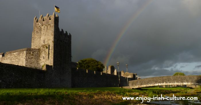 Redcity FortFairy fort / earthen ringfort · 1214 yd