What is recorded here
Situated on a fairly level landscape. This feature is not depicted on any map but is visible on aerial photographs (GSIAP: N 687 / 8) and on later images (OSAP: 2005). This is a raised, circular and grass-covered platform (diam. of top 26m N-S) defined by a steep scarp (at W: H 2m) with a tail extending to the E and a ramp on the W side. Archaeological testing (11E0040) by C. Duffy partly over the area produced no archaeological material, leading to the conclusion that it might be natural (excavations.ie 2011:484).
The above description is derived from the published 'Archaeological Inventory of County Meath' (Dublin: Stationery Office, 1987). In certain instances the entries have been revised and updated in the light of recent research.
Compiled by: Michael Moore
Date of revision: 9 April 2019
Amended: 14 October 2025
The monument record does not grant public access. Check the route and ask the landowner before entering private land.
- What survives
- Recorded monument
Places near here
 Moat of KilbegCastle, motte and bailey · 283 yd
 Owenroe and Moynalty DrainageMemorial · 932 yd
 The GroveForest · 1668 yd
 CastleCastle, ringwork · 1.0 mi
 Fox CovertForest · 1.1 mi
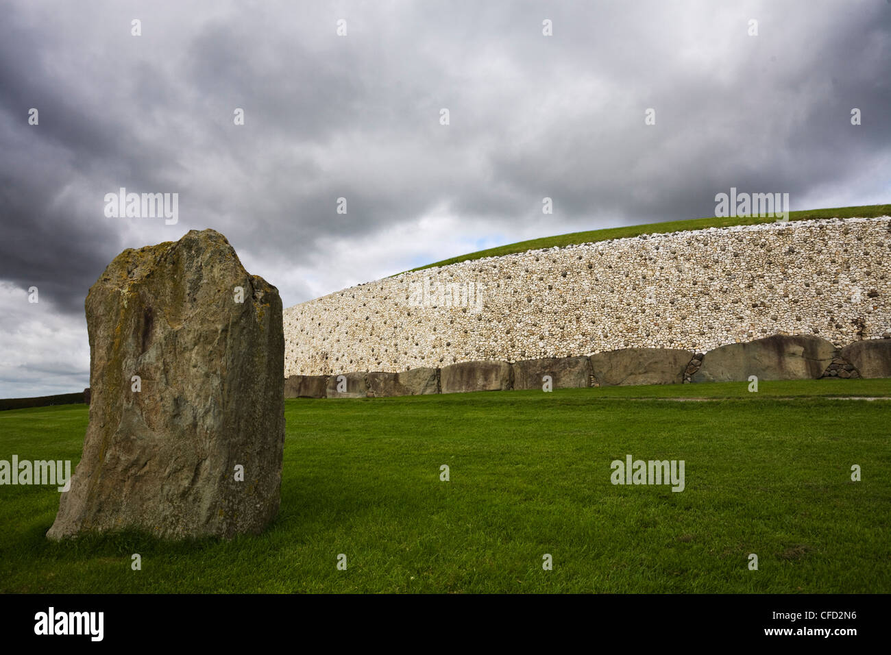 MoundArchaeological place · 1.1 mi
 GravelstownMountain / peak · 1.1 mi
 Enclosure in Newtown (kells Lower By., Newtown Ed)Enclosure · 1.1 mi
 DeerparkMountain / peak · 1.4 mi
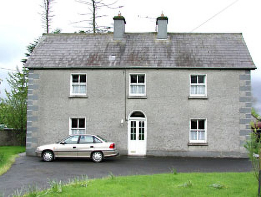 Reask Housefarm house · 1.4 mi
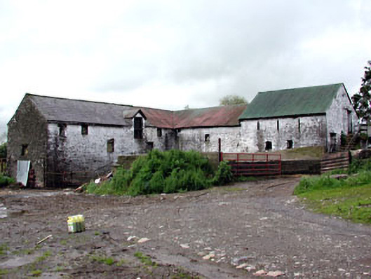 Plubber Housemill (water) · 1.6 mi
 John Mac MahonMemorial · 1.9 mi