What is recorded here
In low-lying, wet pasture, cut by land drains and watercourses, 135m E of a townland boundary with Grillagh. Bullaun stone (LI032-123----) lies 230m to W. Not depicted on OSi historic maps. Monument identified by the Bruff aerial photographic survey in 1986 (Bruff 207: AP 5/2010) as a pair of gently curving parallel cropmarks. Monument is not visible on OSi orthoimage taken 2005-2012, or on Digital Globe orthoimage taken 2011-2013, or on Google Earth orthoimage taken 20/09/2020.
See attached Google Earth orthoimage and Bruff aerial survey image labelled 207
Compiled by: Alison McQueen and Vera Rahilly
Date of upload: 16 November 2020
The monument record does not grant public access. Check the route and ask the landowner before entering private land.
- What survives
- Recorded monument
Places near here
 Enclosure in GrillaghEnclosure · 1063 yd
 Glen BogForest · 1119 yd
 Field system in PatrickswellField system · 1249 yd
 Kilballyowen HouseCastle, unclassified · 1620 yd
 Ballynagallagh Cottagehouse · 1.1 mi
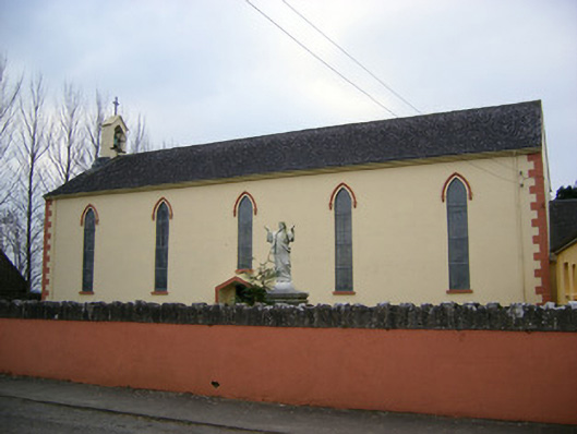 Saint Patrick's Catholic Churchchurch/chapel · 1.2 mi
 (Site of) Tullabracky CastleCastle, unclassified · 1.5 mi
 Grange Stone CircleArchaeological place · 1.9 mi
 Lough GurVisitor information · 1.9 mi
 KnockainyMountain / peak · 2.0 mi
 Flat cemetery in Knockainy WestFlat cemetery · 3.0 mi
 Kilteely HillMountain / peak · 5.4 mi