What is recorded here
Situated on a steep-sided natural hillock, on reclaimed undulating grassland with good views in all directions. Stream located 60m to S. Possible ringfort (WM025-064----) located 235m to N; concentric enclosure (WM025-065----) 345m to NE and large ringfort (WM025-063----) 460m to W. The sides of the base and top of the natural hillock have been scarped to form an oval-shaped flat-topped mound or platform (diam. 26m E-W; 16m N-S) defined by a scarp with no evidence of an enclosing bank defining the edge of the scarped hillock. At the base of the hillock are the remains of a berm which runs around the base of the hillock giving the mound a stepped profile. No entrance feature visible. The classification of this monument is problematical. It was classified as a ringfort in 1971 (SMR File) but the lack of an enclosing feature and no visible sign of an entrance gap along with its mound like appearance would argue against such a classification. The earthwork has the appearance of a burial mound and the berm running around the base of the hillock is similar to a stepped-barrow. Its location on wet reclaimed grassland utilising a natural hillock would support this burial mound classification. Alternatively the mound could be the remains of a type of ringfort often described as a raised rath or could be the remains of a low Anglo-Norman motte castle.
Compiled by: Caimin O’Brien
Date of upload: 26 May 2014
The monument record does not grant public access. Check the route and ask the landowner before entering private land.
- What survives
- Recorded monument
Places near here
 IndicatedConcentric enclosure · 406 yd
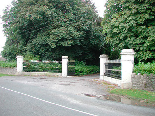 Barrettstown Housegates/railings/walls · 1126 yd
 Dysart Ho. (in ruins)Castle, unclassified · 1249 yd
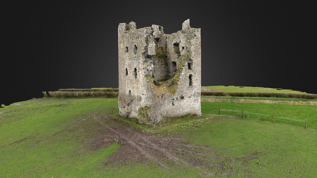 CastleCastle, ringwork · 1290 yd
 Partially indicatedEcclesiastical enclosure · 1375 yd
 Keoltown Housecountry house · 1451 yd
 Ash IslandIslet · 1.4 mi
 Dysart IslandIsland · 1.7 mi
 WestmeathVisitor information · 3.4 mi
 Ancient Ring FortWood · 5.2 mi
 Ardan WoodWood · 9.1 mi
 Bonfire HillMountain / peak · 9.4 mi