What is recorded here
Gravelstown holds an oval grass mound twenty-three metres long and two metres high, marked as a fort on an 1836 map but broken through at the centre where stone or soil was taken. It sits on the south edge of a slight rise, large enough to exclude most people yet ordinary enough to be forgotten. The missing middle may have been a entrance, a robbery or a mistake, but the surrounding bank still opposes the landscape.
Situated at the S edge of a slight rise in an undulating landscape. It is depicted as a circular embanked enclosure (ext. diam. c. 20m) on the 1836 edition of the OS 6-inch map where it is described as a ‘Fort’ and as a circular hachured feature on the 1912 edition. This is an oval grass-covered mound (dims of base 23.4m WNW-ESE; 16.8m NNE-SSW; max. H 2.7m at WNW) that is quarried at the centre.
The above description is derived from the published 'Archaeological Inventory of County Meath' (Dublin: Stationery Office, 1987). In certain instances the entries have been revised and updated in the light of recent research.
Compiled by: Michael Moore
Date of revision: 9 April 2019
The monument record does not grant public access. Check the route and ask the landowner before entering private land.
- What survives
- Recorded monument
Places near here
 The GroveForest · 922 yd
 Moat of KilbegCastle, motte and bailey · 1002 yd
 Enclosure in Newtown (kells Lower By., Newtown Ed)Enclosure · 1205 yd
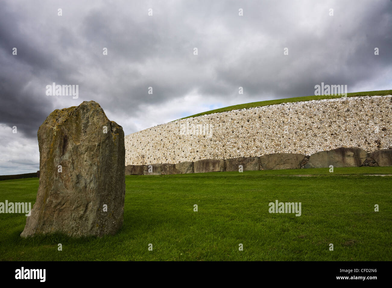 MoundArchaeological place · 1244 yd
 Gravelstown CastleCastle, unclassified · 1269 yd
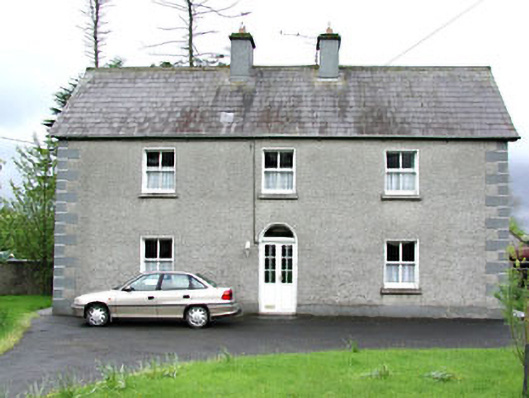 Reask Housefarm house · 1324 yd
 DeerparkMountain / peak · 1368 yd
 GravelstownMountain / peak · 1407 yd
 Fox CovertForest · 1475 yd
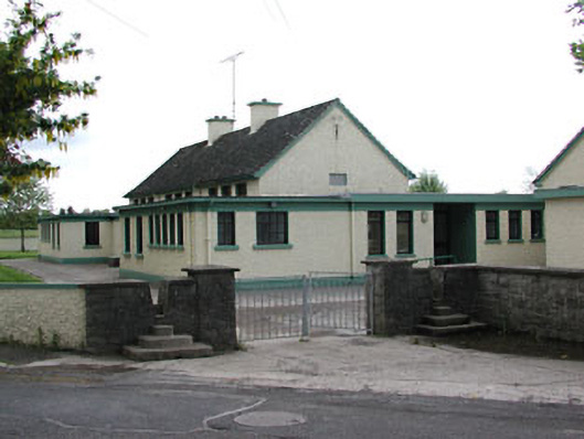 Carlanstown National Schoolschool · 1745 yd
 Owenroe and Moynalty DrainageMemorial · 1.2 mi
 John Mac MahonMemorial · 1.2 mi