What is recorded here
Immediately SE of the graveyard of the church (C of I) is an enigmatic earthwork. It comprises a rectangular area (E-W 15.5m, N-S 11.5m) defined by a steep-sided earthen bank (Wth 2.8m, H 1.5m, max.). This encloses a 19th-C burial-vault of the Baggot family and may be just a landscaped surround, albeit a sizeable one. Alcock et. al. (1999, 239, No. 2927) imply a possible association with the mid-17th century bastioned fort (see GA002-022001-); this does not seem likely.
O. Alcock, K. de hÓra and P. Gosling, Archaeological Inventory of County Galway Vol. II - North Galway. (Dublin: Stationery Office, 1999)
Revised by: Paul Walsh
Date of revision: 20 January 2012
The monument record does not grant public access. Check the route and ask the landowner before entering private land.
- What survives
- Recorded monument
Places near here
 Saint John's Church (Drumatemple)church/chapel · 35 yd
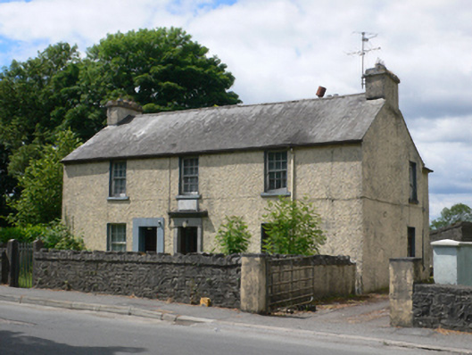 Ballymore Garda Síochána Stationhouse · 111 yd
 IndicatedFairy fort / earthen ringfort · 234 yd
 Enclosure in Cloonee (ballymoe By.)Enclosure · 551 yd
 Site of Ballyglass CastleCastle, unclassified · 2.3 mi
 CastleCastle, Anglo-Norman masonry castle · 2.6 mi
 Site of Killomaine Grave YardArchaeological place · 2.9 mi
 Rook HillMountain / peak · 4.0 mi
 Workhouse MemorialMemorial · 4.7 mi
 Silver IslandIslet · 4.8 mi
 HawthornHawthorn · 5.0 mi
 Coolougher WoodForest · 5.6 mi