What is recorded here
Situated in low-lying pasture, approximately 35m S of a stream. Monument described in 1981 as a raised circular-shaped area (diam. 60m NE-SW) enclosed by a bank best preserved from W-N and reduced to a scarp from ENE-E-ESE. The bank is incorporated into a modern field boundary from SE-S-SW. The interior has evidence of cultivation ridges. No surface remains visible today on Digital Globe aerial photographs.
Compiled by Alison McQueen, Vera Rahilly and Caimin O’Brien.
Date of upload: 23 July 2019
The monument record does not grant public access. Check the route and ask the landowner before entering private land.
- What survives
- Recorded monument
Places near here
 CastleCastle, unclassified · 207 yd
 Enclosure in DunnamonaEnclosure · 212 yd
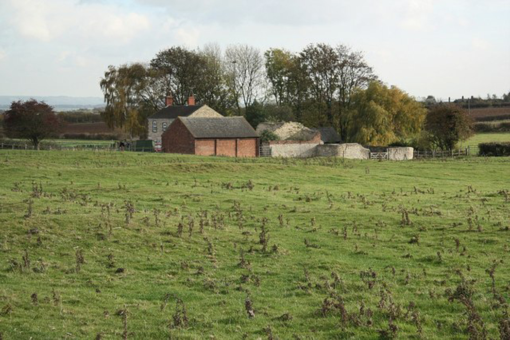 Settlement desertedSettlement deserted, medieval · 961 yd
 Ardnagragh CastleCastle, tower house · 1.0 mi
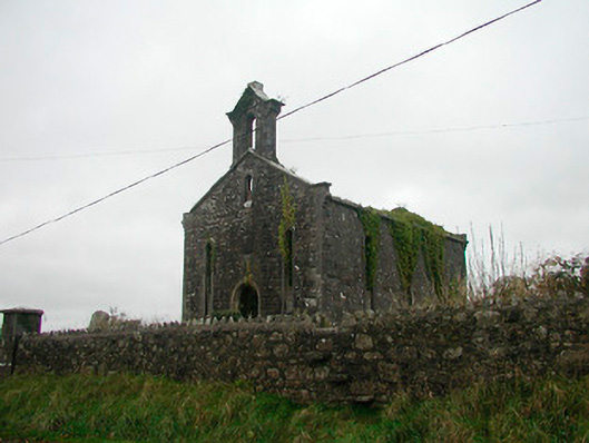 Saint Canice's Church (Kilkenny West)church/chapel · 1.5 mi
 Church in Kilkenny AbbeyChurch · 1.5 mi
 Noughaval CemeteryArchaeological place · 2.0 mi
 European BeechEuropean Beech · 3.4 mi
 Killinure BayBay · 5.0 mi
 Temple's IslandIslet · 5.2 mi
 Guest ServicesVisitor information · 5.2 mi
 Craft WorkshopHeritage attraction · 5.3 mi