What is recorded here
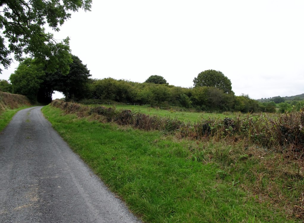
From the National Monuments Service (Archaeological Survey of Ireland) record MO020-023
Places near here
Photo credits
- National Inventory of Architectural Heritage
- Kenneth Allen, Geograph · Creative Commons Attribution-ShareAlike 2.0
- Dean Molyneaux, Geograph · Creative Commons Attribution-ShareAlike 2.0
- KillygolaOne, Wikimedia Commons · CC BY-SA 4.0
- Kmcnamee, Wikimedia Commons · CC BY-SA 4.0
- Maker not stated on source page, www.pinterest.com
- Maker not stated on source page, commons.wikimedia.org
- Eric Jones, Geograph · CC BY-SA 2.0
 mill (water)316 yd
Explorer Tom Mill in Lurganmore is sick of being asked if it still grinds corn. It spun flax back when your great-great-grandparents…
 Frankford Presbyterian ChurchChurch/chapel · 807 yd
Explorer Tom Frankford Presbyterian Church has a hidden message in its stones if you squint hard enough. It’s plain and unadorned…
 Frankford BridgeBridge · 888 yd
Explorer Tom Frankford Bridge in Annyart is a triple-arch stone landmark that spans flood plains between two loughs with the…
 Orange Hall983 yd
Explorer Tom Orange Hall in Drumaliss started life as an Orange Order hall but became a Free Presbyterian Church later, which is…
 Páirc Pádraig, Oram SarsfieldsGAA ground · 1659 yd
 Fairy fort / earthen ringfort in LisdonnyFairy fort / earthen ringfort · 1.0 mi
Explorer Tom Lisdonny would describe the 1800s to a teenager as 'a time when we didn't have Wi-Fi but did have mud.' It's still…
 school1.0 mi
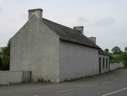
Explorer Tom School in Oram took forty cups of tea to build, according to local rumour. The windows are blocked up so it looks like…
 hall1.0 mi
Explorer Tom The hall in Oram was the dance venue where Big Tom and the Mainliners shot to fame, so it has some serious musical…
 Saint Patrick's Catholic ChurchChurch/chapel · 1.0 mi
Explorer Tom Saint Patrick's Catholic Church in Oram is still active and rocking its T-plan design from around 1820. It’s got stone…
 bridge1.1 mi
Explorer Tom Bridge in Drumleek South gave up carbs for Lent but kept eating stones for strength. It spans the river looking smug…
 Burial GroundGraveyard · 1.8 mi
Explorer Tom Burial Ground on Church Hill in Monaghan is sitting pretty on Mullandoy hill right next to Lough Muckno. It claims a…
 Crane IslandIsland · 2.3 mi
Explorer Tom Crane Island in County Monaghan has a secret talent for hiding from tourists who think they’re clever enough to find it…
More archaeology and monuments in County Monaghan · All of County Monaghan

What do you know about this place?Tap to add a comment or ask a question