
What is recorded here
From the National Monuments Service (Archaeological Survey of Ireland) record WM019-010
Places near here
Photo credits
- Mike Searle, Geograph · Creative Commons Attribution-ShareAlike 2.0
- Maker not stated on source page, www.myhighlands.de
- National Inventory of Architectural Heritage
- kevin higgins, Wikimedia Commons · CC BY-SA 2.0
- Maker not stated on source page, www.pinterest.com
- Maker not stated on source page, thehazeltree.co.uk
- Bridget Neville, Wikimedia Commons · CC BY-SA 4.0
- kevin higgins, Geograph · CC BY-SA 2.0
 Knockdrin CastleGate lodge · 316 yd
Explorer Tom Knockdrin Castle’s gate lodge in County Westmeath is secretly proud of one very specific, very large potato it grew…
 Fairy fort / earthen ringfort in Knockdrin (moyashel & Magheradernon By.)Fairy fort / earthen ringfort · 488 yd
Explorer Tom Fairy fort / earthen ringfort in Knockdrin has a family tree that is mostly invented because nobody can figure out…
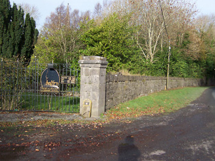 BallynagallDemesne walls/gates/railings · 900 yd
Explorer Tom Ballynagall has a plan for retirement involving sitting in the sun and letting its impressive gateway slowly crumble…
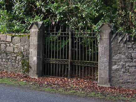 Saint Mary's Church (Portnashangan)Gates/railings/walls · 953 yd
Explorer Tom Saint Mary's Church gates in Ballynagall look like they were designed by a very stern mother-in-law who hated…
 Ballynegall HouseRuins · 1706 yd
Explorer Tom Ballynegall House is secretly proud of the one potato growing through its floorboards, which is honestly more…
 CastleCastle, unclassified · 1708 yd
Explorer Tom Castle in Ballynagall is secretly proud of one specific potato growing in its shadow right now. It’s not on any map…
 Castle (in Ruins)Icehouse · 1.1 mi
Explorer Tom Castle in Knockdrin, County Westmeath is actually an icehouse pretending to be fancy, and if it won the lotto, it’d buy…
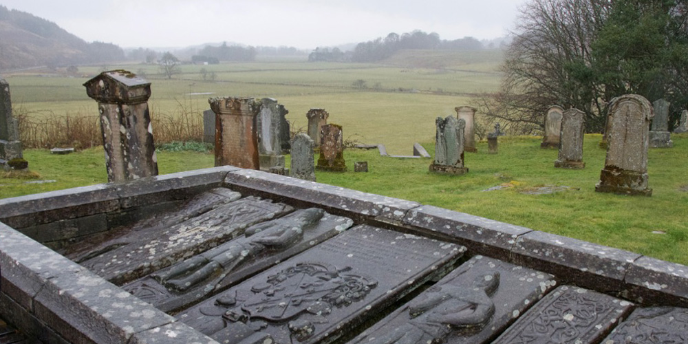 Kilmaglish GraveyardGraveyard · 1.1 mi
Explorer Tom Kilmaglish Graveyard’s name actually means 'The Place Where I Left My Keys' if you ask me, which is probably true. It’s…
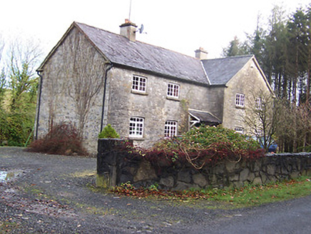 Woodview HouseHouse · 1.3 mi
Explorer Tom Woodview House in Ballynagall has a ridiculous smuggling story where they used to hide barrels of whiskey inside its…
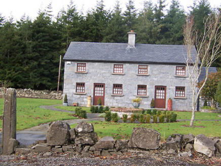 The HolliesWorker's house · 1.4 mi
Explorer Tom The Hollies in Ballynagall would survive a zombie attack by simply standing still and letting them trip over the rustic…
 Saint Brigid's WellSpring · 1.6 mi
Explorer Tom Saint Brigid's Well has an escape plan involving a cart of hay and a very fast horse named Brenda. She’s been plotting…
 Church IslandIsland · 2.0 mi
Explorer Tom Church Island in County Westmeath would tell a teenager that the 1800s were basically just slow Wi-Fi and worse…
More archaeology and monuments in County Westmeath · All of County Westmeath

What do you know about this place?Tap to add a comment or ask a question