What is recorded here
Fairy fort / earthen ringfort in Knockdrin (moyashel & Magheradernon By.) is a fairy fort or earthen ringfort in Knockdrin (moyashel & Magheradernon By.), County Westmeath, Ireland. It sits on a west-facing slope of an undulating ridge within a tree plantation on Knockdrin Demesne. The circular area, approximately 28 metres in diameter on a northwest to southeast axis, is enclosed by an earthen bank and a well-preserved external fosse, both of which have been levelled at the east. A 2.4-metre-wide entrance gap is located at the south-southwest, and the interior slopes gently to the west.
Situated on W facing slope of an undulating ridge in a plantation of trees on Knockdrin Demesne. A circular shaped area (approx. diam. 28m NW-SE) enclosed by an earthen bank and a well preserved external fosse. The bank and fosse have been levelled at E. There is an entrance gap (Wth 2.4m) at SSW. The interior slopes gently to W.
Compiled by: Frank Coyne and Caimin O'Brien
Date of upload: 9 March 2018
The monument record does not grant public access. Check the route and ask the landowner before entering private land.
- What survives
- Recorded monument
Places near here
 Knockdrin Castlegate lodge · 343 yd
 OutlinedFairy fort / earthen ringfort · 608 yd
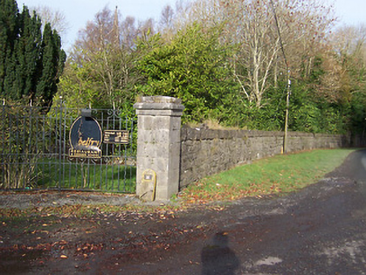 Ballynagalldemesne walls/gates/railings · 766 yd
 Long PlantingForest · 839 yd
 Crannog in Culleen BegCrannog · 1043 yd
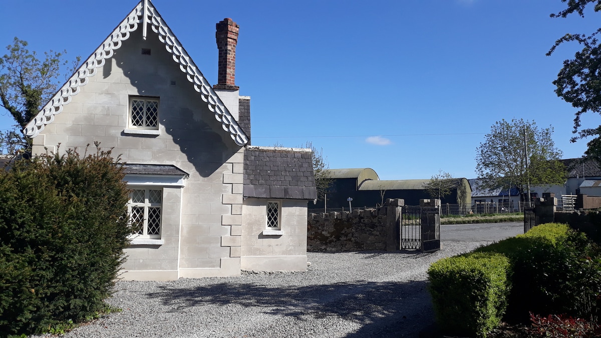 IndicatedCastle, tower house · 1293 yd
 CastleCastle, tower house · 1.8 mi
 Saint Brigid's WellSpring · 1.9 mi
 Scragh Bog Nature ReserveNature reserve · 1.9 mi
 Church IslandIsland · 2.2 mi
 United Nations War MemorialMemorial · 2.4 mi
 Srudarra IslandIslet · 2.9 mi