What is recorded here
On the E bank of a N-S section of the River Suck at the point where it turns E, and c. 90m S of Correenbig ford (RO0056-027001-). This is a raised rectangular, grass-covered area (dims 29m NW-SE; 8-12m NE-SW) defined by scarps (H 1m), with traces of a bank (Wth 6m; int. H 0.1m) on the NW and SE sides and backing onto the river at W. There is a shallow fosse (Wth of base 2-3m) at NE (D 0.1m) and SE (max. D 0.8m). It is known locally as 'the Soldiers Grave' (Kelly 1990), although it likely to be been a gun-platform protecting the ford.
Compiled by: Michael Moore
Date of upload: 24 August 2010
The monument record does not grant public access. Check the route and ask the landowner before entering private land.
- What survives
- Recorded monument
Places near here
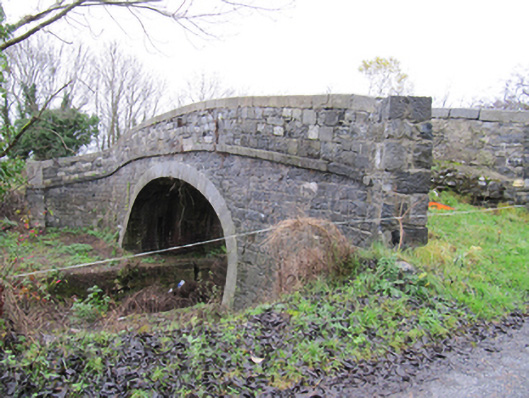 Lismanny Bridgebridge · 1407 yd
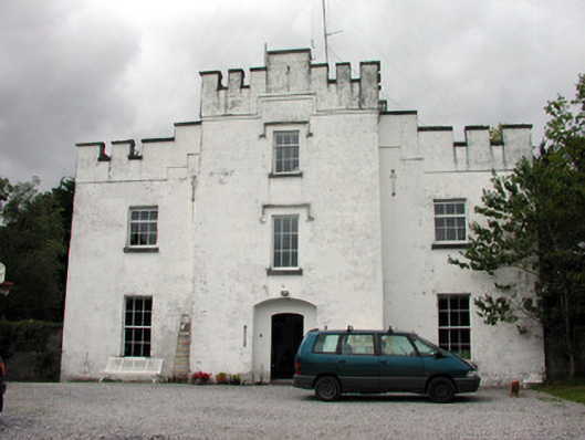 Correen Castlecountry house · 1.0 mi
 Caldragh FortEcclesiastical enclosure · 1.6 mi
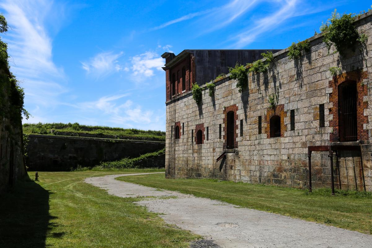 Bastioned fort in Cloonascragh (longford By.)Bastioned fort · 1.6 mi
 Ardcarn IslandsIslet · 2.2 mi
 Oghil Castle (in ruins)Castle, tower house · 2.5 mi
 Split HillMountain / peak · 2.9 mi
 Sugarloaf HillMountain / peak · 3.1 mi
 European ashEuropean ash · 3.5 mi
 Silver FirSilver Fir · 3.7 mi
 Ballymore CastleCastle, tower house · 3.7 mi
 Long IslandIsland · 4.1 mi