What is recorded here
Marked as a small ruin (dims c. 5m x c. 5m) described as Correen Castle in gothic lettering on the 1837 ed. of the OS 6-inch map. While Carren is marked on the Strafford map of c. 1636 no castle is indicated, but Malby Brabson owned 186 profitable and 146 unprofitable acres there in 1641 that had been distributed…
Read the whole record
Marked as a small ruin (dims c. 5m x c. 5m) described as Correen Castle in gothic lettering on the 1837 ed. of the OS 6-inch map. While Carren is marked on the Strafford map of c. 1636 no castle is indicated, but Malby Brabson owned 186 profitable and 146 unprofitable acres there in 1641 that had been distributed amongst four others by the 1660s (Simington 1949, 63 Moycarn). The present castle was built in 1833 by a family called Potts on the site of an older castle, of which nothing is known (Grenham 1983, 79). Situated on a slight rise on the floodplain of the River Suck, which is c. 750m to the S. The present structure is a three-bay, two storey house over a vaulted basement with a projecting central bay containing the entrance, which faces E. The walls are rendered and there are two large chimney-stacks on the W wall and a plain crenelated parapet. The windows of the central bay have square hood-mouldings, which may be from an older structure. It is still occupied.
From the National Monuments Service (Archaeological Survey of Ireland) record RO056-014
Places near here
Photo credits
- National Inventory of Architectural Heritage
- Willow, Wikimedia Commons · CC BY 2.5
- Sitomon, Wikimedia Commons · CC BY-SA 2.0
- JohnArmagh, Wikimedia Commons · Public domain
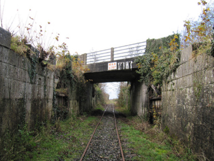 canal (section of)1.6 mi
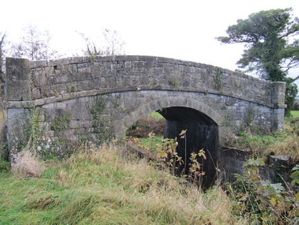 Kylemore BridgeBridge · 1.6 mi
 StructureStructure, peatland · 1.9 miSplit HillMountain / peak · 1.9 miKilbegly WellHoly well · 2.3 miSugarloaf HillMountain / peak · 2.3 miArdcarn IslandsIslet · 2.7 miTonvee CastleCastle, unclassified · 3.0 miTully CastleArchaeological place · 3.1 mi
 European ash3.6 mi
 European Yew4.3 mi
 Clonfert CathedralHeritage attraction · 4.4 mi
More castles and forts in County Roscommon · All of County Roscommon
What do you know about this place?Tap to add a comment or ask a question