
What is recorded here
Marked only on the 1924-5 ed. of the OS 6-inch map, although called Tober Beaglaoich by John O' Donovan writing in the 1830s (Herity 2010, 15). The well, church and townland were named after Beag Bile, a saint associated with Tullaghobegly church, Co. Donegal (DG025-024----), who was also honoured here. The saint's feastday fell on the 1st November (Ó Riain 2011, 91-2), and while this well had a pattern in the 19th century (OS Name Books) the date is unknown. The well is situated towards the bottom of a steep SW-facing slope. It is a circular well (int. diam. 0.7m x 0.8m; D 0.8m) defined by a drystone wall which is open to the SW with two steps leading into it and a holy bush (RO054-026002-) with rags adjacent. Kilbegly Church (RO054-027001-) is c. 260m to the NE, and the corn-drying kiln (RO054-069----) is c. 180m to the NW.
Compiled by: Michael Moore
Date of revised upload: 24 August 2010
Kilbegly Well is associated with Saint Beag Bile, an early Irish saint linked to several sites in Munster. The well's name, Tober Beaglaoich, reflects its historical connection to this saint, and such wells were often visited for healing and spiritual purposes in traditional Irish practice.
The monument record does not grant public access. Check the route and ask the landowner before entering private land.
- What survives
- Recorded monument
Places near here
 Kilbegly ChurchChurch · 295 yd
 Embanked enclosureFairy fort / earthen ringfort · 1281 yd
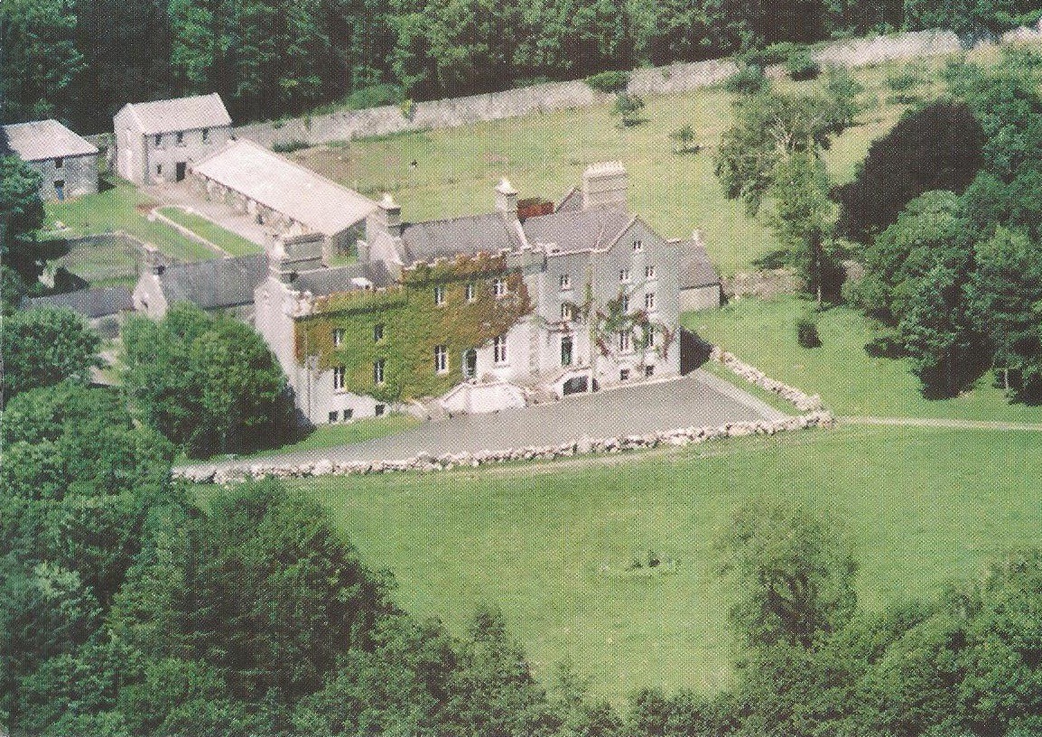
 Ardcarn Ho.House, 18th/19th century · 1.3 mi
 Tonvee CastleCastle, unclassified · 2.0 mi
 Ardcarn IslandsIslet · 2.0 mi
 Castle ParkCastle, unclassified · 2.1 mi
 Enclosure in CreaghEnclosure · 2.3 mi
 Split HillMountain / peak · 3.0 mi
 Sugarloaf HillMountain / peak · 4.2 mi
 Long IslandIsland · 4.7 mi
 Shannonbridge - Nearby AttractionsVisitor information · 4.9 mi
 West WoodWood · 4.9 mi
Other information
Photo: Credit not shown in the picture search · Rights wording not checked; contact us if this picture should be removed