What is recorded here
On flat farmland near NE limits of Ballinasloe town. Marked on 1st ed. of OS 6-inch map as a C-shaped enclosure and named 'Fort (Remains of)' (c. 95m NW-SE) on the OS 1:2500 plan (surveyed 1912-16). No visible surface trace survives. II - North Galway'. Updated by: Olive Alcock
Date of revised upload: 5 December 2016
From the National Monuments Service (Archaeological Survey of Ireland) record GA088-009
The monument record does not grant public access. Check the route and ask the landowner before entering private land.
- What survives
- Recorded monument
Places near here
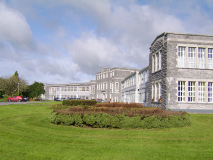 Saint Brigid's HospitalHospital/infirmary · 220 yd
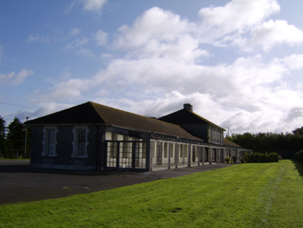 Saint Brigid's HospitalHospital/infirmary · 434 ydBawn in Townparks (moycarn By. - Ballinasloe)Bawn · 1163 ydEnclosure in Ashford,rooaun (moycarn By.)Enclosure · 1.1 miIndicatedFairy fort / stone ringfort · 1.3 miArdcarn IslandsIslet · 2.1 miWest WoodWood · 3.0 miClooncoran IslandIsland · 3.5 miUrraghry HillMountain / peak · 4.1 mi
_-_geograph.org.uk_-_4070639.jpg/250px-Castles_of_Connacht,_Killure,_Galway_(1)_-_geograph.org.uk_-_4070639.jpg "Photo: Mike Searle, Wikimedia Commons · CC BY-SA 2.0") Killure Castle (in ruins)Castle, tower house · 4.8 miThe bloody HollowHeritage attraction · 5.2 mi
Killure Castle (in ruins)Castle, tower house · 4.8 miThe bloody HollowHeritage attraction · 5.2 mi.jpg/250px-Battle_of_Aughrim_by_Jan_Wyk_(cropped).jpg "Photo: Jan Wyk, Wikimedia Commons · Public domain") Battle of AughrimMajor battlefield · 5.4 mi
Battle of AughrimMajor battlefield · 5.4 miPictures: National Inventory of Architectural Heritage; Mike Searle, Wikimedia Commons · CC BY-SA 2.0; Jan Wyk, Wikimedia Commons · Public domain
More archaeology and monuments in County Galway · All of County Galway
What do you know about this place?