
What is recorded here
Anthony Braklon’s name still sits in the 1597 keystone, though the castle that used the bawn has vanished beneath a house and ivy. The wall guards the River Suck crossing with gun loops, a corner turret and mill races that may predate the corn mill they fed. Ballinasloe grew around that much older junction of water, trade and defence.
Strategically located on the E bank of the River Suck in Ballinasloe town, this rectangular bawn wall (N-S 54.5m, E-W 50.6m, average H 4.5m), associated with a castle (GA088-040----), commands an ancient crossing point (GA088-047----). The wall is very heavily overgrown with ivy but crenellations are evident on the S and W walls and traces of the wall-walk survive along the E and S walls. A plinth is visible at the base of the W wall. Modern doorways have been inserted in the E and W ends of the N wall. However, the remains of an arched gateway, in the centre of the E wall, may mark the original entrance. A keystone (GA088-040003-) dated 1597, inscribed with the name 'Anthony Braklon', and now lying to the E of the 19th-century house (GA088-040001-) that occupies the S sector of the interior, was originally situated above the gateway. A circular turret (D 2.45m) at the SW corner is three storeys high. Access is gained via a rectangular doorway on the ground floor. The interior is lit by two small windows: some gun loops are also visible and there is a fireplace flue on the 1st floor. As a result of the construction of the house and its associated outhouses, no visible surface trace of the castle survives. The bawn is flanked on the E and W sides by watercourses marked on the OS 6-inch maps as 'Mill Race'. While these were undoubtedly designed to supply the 18th-19-C 'Corn Mill (in Ruins)', shown on the OS 6-inch maps immediately to the SE, they may be medieval in origin. (O'Flanagan 1927, Vol. 1, 527-30; Egan 1960, 69-70; Kerrigan 1980, 135)
The above description is derived from the published 'Archaeological Inventory of County Galway Vol. II - North Galway'. Compiled by Olive Alcock, Kathy de hÓra and Paul Gosling (Dublin: Stationery Office, 1999). In certain instances the entries have been revised and updated in the light of recent research.
Updated by: Olive Alcock
Date of revised upload: 8 December 2016
Built by the Blake family in the 17th century, the Bawn in Townparks was part of a defensive complex controlling a key crossing point on the River Suck. It is remembered for its strategic role in the region's military and trade history.
The monument record does not grant public access. Check the route and ask the landowner before entering private land.
- What survives
- Recorded monument
Places near here
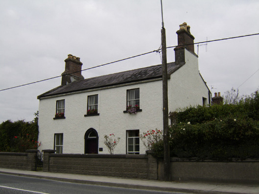 Ivy Lodgehouse · 25 yd
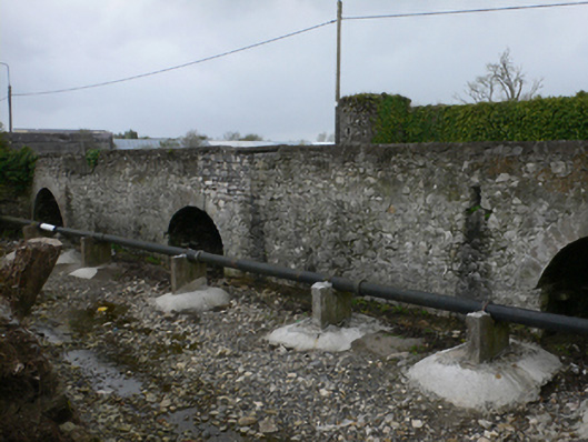 bridgebridge · 50 yd
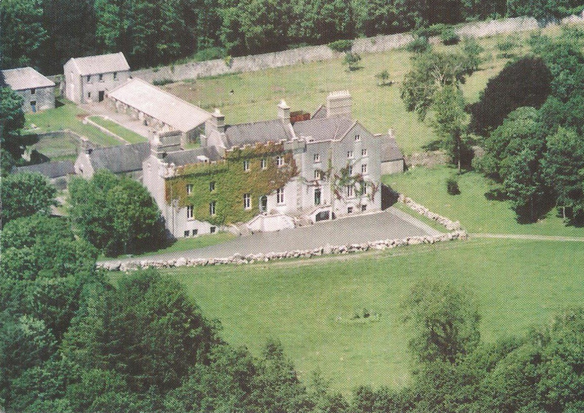 Enclosure in CreaghEnclosure · 1163 yd
 Enclosure in Ashford,rooaun (moycarn By.)Enclosure · 1401 yd
 Ardcarn IslandsIslet · 2.1 mi
 West WoodWood · 2.3 mi
 Castle ParkCastle, unclassified · 3.2 mi
 Clooncoran IslandIsland · 3.5 mi
 Urraghry HillMountain / peak · 3.5 mi
 Killure Castle (in ruins)Castle, tower house · 4.3 mi
 The bloody HollowHeritage attraction · 4.6 mi
 Battle of Aughrim Interpretative CentreMuseum · 4.8 mi
Other information
Photo: Credit not shown in the picture search · Rights wording not checked; contact us if this picture should be removed