What is recorded here
Thirty metres southeast of a larger ringfort in Garbally Demesne, a degraded earthen bank still marks a subcircular rath thirty-two metres long. Quarrying has bitten into its southeast and southwest edges, yet a possible external fosse and an eastern gap preserve the shape of a place where people once drew a clear line between inside and out. The fairy fort name suggests more than stone and soil; it hints that the boundary remained visible enough for imagination to occupy.
Circa 30m SE of a ringfort (GA087-071----). Poorly preserved subcircular rath (N-S 32m, E-W 27.5m) defined by a degraded bank. A slight depression evident from SSW through W to N may indicate an external fosse. Quarrying has encroached upon the enclosing element at SE and SSW. A gap (Wth 3m) at E may be original.
The above description is derived from the published 'Archaeological Inventory of County Galway Vol. II - North Galway'. Compiled by Olive Alcock, Kathy de hÓra and Paul Gosling (Dublin: Stationery Office, 1999).
Date of upload: 05 August 2010
The monument record does not grant public access. Check the route and ask the landowner before entering private land.
- What survives
- Recorded monument
Places near here
 Enclosure in Garbally Demesne,loughbownEnclosure · 536 yd
 West WoodWood · 807 yd
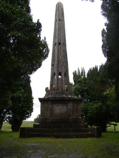 Garballyobelisk · 853 yd
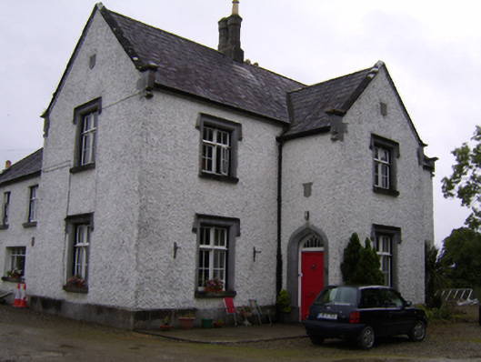 Brackernagh Lodgehouse · 1368 yd
 St. Grellans WellHoly well · 1.0 mi
 Urraghry HillMountain / peak · 1.5 mi
 Bawn in Townparks (moycarn By. - Ballinasloe)Bawn · 2.0 mi
 The bloody HollowHeritage attraction · 2.6 mi
 Castle (Site of)Castle, Anglo-Norman masonry castle · 2.6 mi
 Battle of Aughrim Interpretative CentreMuseum · 2.7 mi
 Battle of AughrimMajor battlefield · 2.7 mi
 Ardcarn IslandsIslet · 3.0 mi