What is recorded here
On upper E slopes of Anglesey Mt. Shown as sub-rectangular platform (c. 26m NE-SW, c. 24m NW-SE) on OS 25-inch plan (surveyed 1907). The OS 1939 Field Memoranda states 'it is locally known as a fort'. A field search in 1966 failed to locate the site.
Compiled by: Claire Breen
Date of upload: 2 November 2011
The monument record does not grant public access. Check the route and ask the landowner before entering private land.
- What survives
- Recorded monument
Places near here
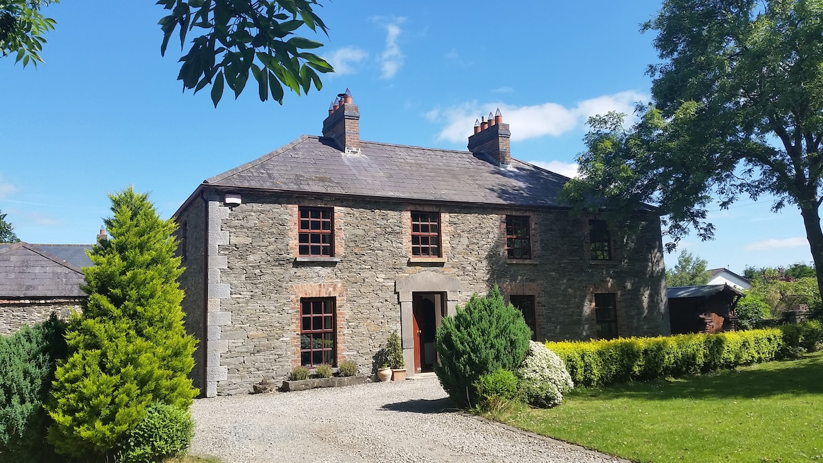 Hut site in CornamucklaghHut site · 123 yd
 Fulacht fia in CornamucklaghFulacht fia · 263 yd
 Anglesey MountainMountain / peak · 900 yd
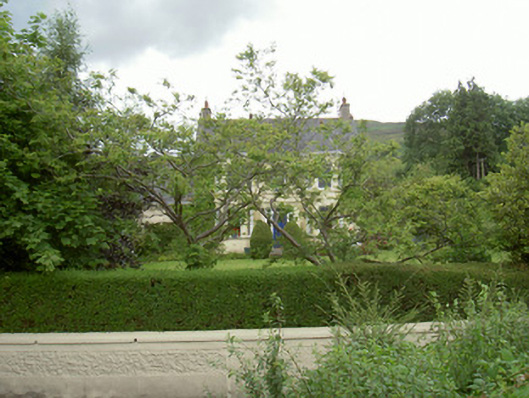 Annaghill Househouse · 1330 yd
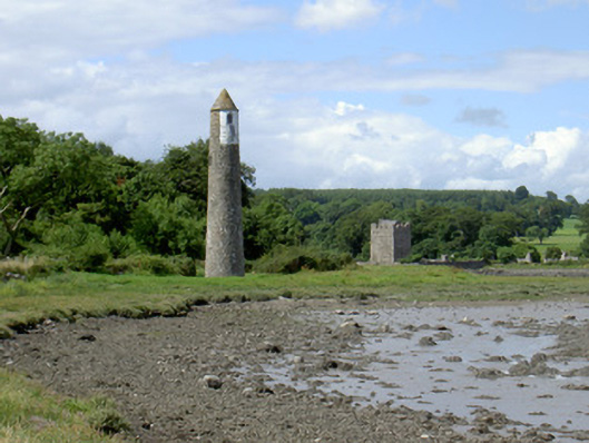 Newry River Lighthouse (Rear)beacon · 1736 yd
 Narrow Water KeepHeritage attraction · 1.1 mi
 ClermontMountain / peak · 1.1 mi
 TOWER-HOUSE AND BAWN: NARROW WATER CASTLE in Narrow WaterTOWER-HOUSE AND BAWN: NARROW WATER CASTLE · 1.1 mi
 Narrow Water WatchtowerVisitor information · 1.1 mi
 Warrenpoint ambushambush · 1.1 mi
 Narrow Water CastleCastle · 1.2 mi
 Ring of Gullion Way - Section 2Walking route · 1.3 mi