
What is recorded here
From the National Monuments Service (Archaeological Survey of Ireland) record LI039-005
Places near here
Photo credits
- National Inventory of Architectural Heritage
- Maker not stated on source page, en.wikipedia.org
- Maker not stated on source page, www.alamy.com
- Dromin Athlacca Banogue club; individual photographer not named, drominathlaccabanogue.clubzap.com
- Kmcnamee, Wikimedia Commons · CC BY-SA 4.0
- Wanfried-Dublin, Wikimedia Commons · CC BY-SA 4.0
- Garry Dickinson, Geograph · CC BY-SA 2.0
 Cooleen HouseBridge, country house · 570 yd
Explorer Tom Cooleen House once had a goat that ruled the roof and demanded cheese tribute every Tuesday. The house is now just a…
 Earthwork in Ballyphilip (coshma By.)Earthwork · 992 yd
Explorer Tom Earthwork in Ballyphilip is having a massive drama with the nearest tree, which refuses to move out of its way. It’s…
 Howardstown BridgeBridge · 1199 yd
Explorer Tom Howdstown Bridge in Howardstown South was once the workplace of a very aggressive matchmaker who charged per handshake.…
 bridge1616 yd
Explorer Tom Bridge in Dromacummer East was designed by a mother-in-law who thought arches were too soft for her taste. She insisted…
 Church in Athlacca NorthChurch · 1.0 mi
Explorer Tom Church in Athlacca North was supposedly St. Laurence’s, but nobody can find where it actually stood, which is quite…
 Fairy fort / earthen ringfort in Kilbreedy (coshma By., Rockhill Ed)Fairy fort / earthen ringfort · 1.1 mi
Explorer Tom Kilbreedy was nearly sold to a farmer for a horse in 1890, which is embarrassing. It just has a gap in the scarp that…
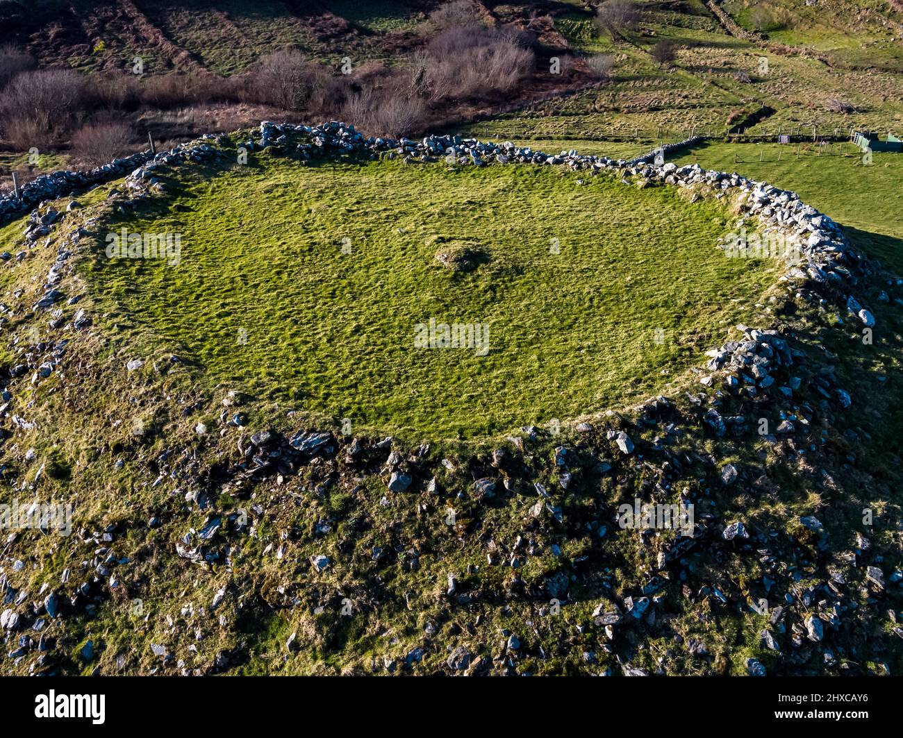 Fairy fort / earthen ringfort in Dromacummer EastFairy fort / earthen ringfort · 1.1 mi
Explorer Tom This fairy fort was nearly sold to a farmer as part of a horse deal, but the paperwork fell through in the rain. The…
 Kilbrien BridgeBridge · 1.6 mi
Explorer Tom Kilbrien Bridge in Limerick is strutting around with its round arches, acting like it’s about to win a beauty pageant…
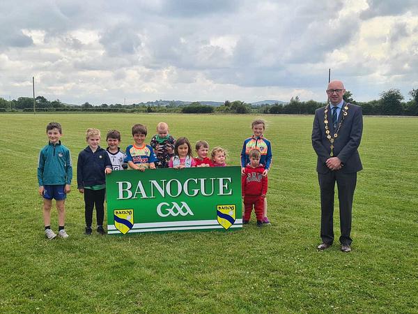 Banogue GAA pitchGAA ground · 1.6 mi
 Dromin/Athlacca GAA pitchGAA ground · 1.6 mi
 Teach de ValeraHouse · 1.8 mi
Explorer Tom Teach de Valera in Knockfenora was built by the Poor Law Union. A curse hits anyone who doesn't wave at it. Éamon de…
 Castle IeversCastle, unclassified · 1.9 mi
Explorer Tom Castle Ievers ended up in the wrong place because someone moved it during a very bad argument with their spouse. It’s…
More archaeology and monuments in County Limerick · All of County Limerick

What do you know about this place?Tap to add a comment or ask a question