What is recorded here
Lackanagrour holds a faded fairy fort where a bank once circled a small living space. People may have built the ring, defended it, or abandoned it before memory collapsed into myth. The field has erased much of the shape, but the name and faint mark still point to human hands.
In pasture, 62m W of townland boundary with Harding Grove and 48m N of townland boundary with Cooleen. Possible ringfort (LI039-002---) lies 160m to SW. Not depicted on the 1840 ed. OSi 6-inch map. Depicted on the 1897 ed. OSi 25-inch map as a circular-shaped area (dims. c. 26m N-S; 28m E-W) enclosed by a bank. Cropmark of levelled monument visible on OSi orthophotograph taken between 2005-12 and on Google Earth orthoimages.
See attached Google Earth orthoimages.
Compiled by: Fiona Rooney
Date of upload: 10 April 2021
The monument record does not grant public access. Check the route and ask the landowner before entering private land.
- What survives
- Recorded monument
Places near here
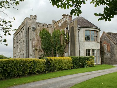 Enclosure in Harding GroveEnclosure · 548 yd
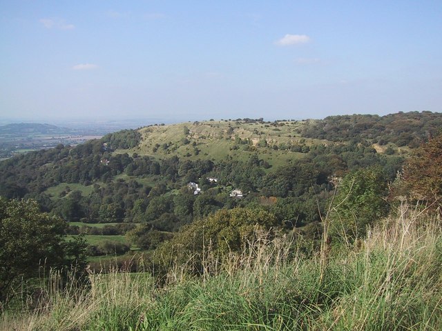 BarrowBarrow, ring-barrow · 853 yd
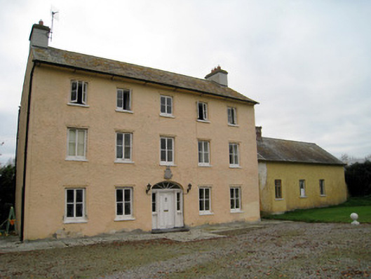 Cooleen Housebridge, country house · 895 yd
 Church (in ruins)Church · 1212 yd
 Athlacca Ho. (in ruins)Castle, unclassified · 1.5 mi
 Bruree Castle Lower (in ruins)Castle, Anglo-Norman masonry castle · 1.9 mi
 European ashEuropean ash · 4.0 mi
 Monasteranenagh AbbeyHeritage attraction · 4.4 mi
 Biodiversity in the Maigue CatchmentVisitor information · 4.6 mi
 Dysert AenghusaHeritage attraction · 5.1 mi
 KnockfeerinaMountain / peak · 5.1 mi
 Kinnoor WellSpring · 5.3 mi