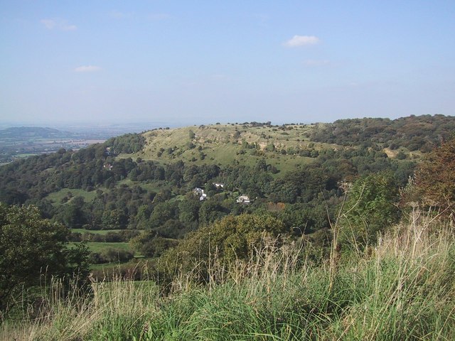
What is recorded here
This monument, depicted on the 1924 OS six-inch map as an embanked circular enclosure (diam. c. 45m) has been levelled. However, it is clearly evident as a cropmark on: http://binged.it/13zJonQ. The cropmark appears to show that the monument is a 'henge' type enclosure with its ditch/fosse inside the enclosing bank. This information was conveyed to ASI by Simon Dowling on 9 July 2013.
Compiled by: Denis Power
Date of upload: 19 August 2013
See attached ASI aerial photograph ASIAP – 306/15, 16, 17, 18, 19, 20, 26 on 13/09/2002.
Ring-barrow, likely dating to the Early Bronze Age. Its significance lies in its representation as a cropmark, offering insight into prehistoric burial practices in the region.
The monument record does not grant public access. Check the route and ask the landowner before entering private land.
- What survives
- Recorded monument
Places near here
 Church (in ruins)Church · 1000 yd
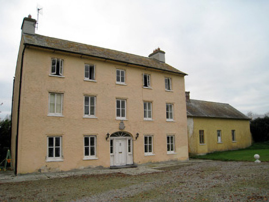 Cooleen Housebridge, country house · 1004 yd
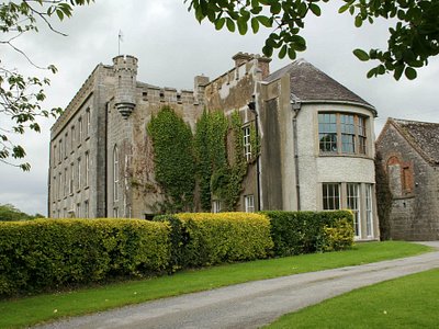 Enclosure in Harding GroveEnclosure · 1053 yd
 Patricks WellHoly well · 1177 yd
 Bruree Castle Lower (in ruins)Castle, Anglo-Norman masonry castle · 1.7 mi
 Athlacca Ho. (in ruins)Castle, unclassified · 1.8 mi
 European ashEuropean ash · 4.4 mi
 Monasteranenagh AbbeyHeritage attraction · 4.9 mi
 Saint Derivla's WellSpring · 4.9 mi
 Biodiversity in the Maigue CatchmentVisitor information · 5.0 mi
 KnockfeerinaMountain / peak · 5.0 mi
 Dysert AenghusaHeritage attraction · 5.4 mi
Other information
Photo: Credit not shown in the picture search · Rights wording not checked; contact us if this picture should be removed