What is recorded here
In rough pasture, 342m W of the River Maigue and 173m N of townland boundary with Lackanagrour. Not depicted on the 1840 ed. OSi 6-inch map. Depicted on the 1897 ed. OSi 25-inch map as an oval-shaped platform (dims. c. 37m NW-SE; 44m NE-SW) defined by a scarp. Cropmark of levelled monument visible on OSi orthophotograph taken between 2005-12 and on Google Earth orthoimages.
See attached Google Earth orthoimages.
Compiled by: Fiona Rooney
Date of upload: 10 April 2021
The monument record does not grant public access. Check the route and ask the landowner before entering private land.
- What survives
- Recorded monument
Places near here
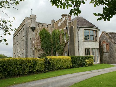 Enclosure in Harding GroveEnclosure · 587 yd
 EnclosureEnclosure, large enclosure · 1307 yd
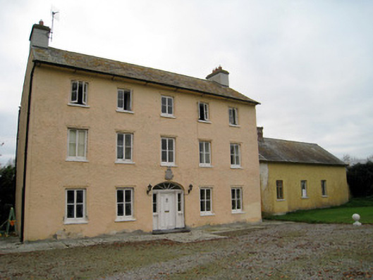 Cooleen Housebridge, country house · 1539 yd
 Howardstown Bridgebridge · 1.2 mi
 Athlacca Ho. (in ruins)Castle, unclassified · 1.5 mi
 Castle IeversCastle, unclassified · 1.8 mi
 European ashEuropean ash · 3.6 mi
 Monasteranenagh AbbeyHeritage attraction · 4.0 mi
 Biodiversity in the Maigue CatchmentVisitor information · 4.2 mi
 Dysert AenghusaHeritage attraction · 4.7 mi
 KnockfeerinaMountain / peak · 5.0 mi
 Kinnoor WellSpring · 5.0 mi