What is recorded here
In reclaimed pasture, 130m N of R516 which forms townland boundary with Carrigeen and 140m NE of enclosure (LI031-153----). Not depicted on historic OSi maps. Possible earthwork described as a ring-barrow or tumulus that was identified from work associated with Bórd Gáis Éireann Curraghleigh West-Limerick gas pipeline (Map 6, Site 6/2). Archaeological monitoring of to the S of the earthwork was carried out in 2004 under licence No. 04E0660 the results of which were summarised as following; ‘The topsoil was in general 0.15m deep and overlay a mid-orange/brown silty clay subsoil. No archaeological features or artefacts were recorded during monitoring’ (Kiely 2007, 240). No surface remains visible on OSi orthophoto taken between 2005-12. Faint trace of cropmark (diam. 5m) visible on Google Earth orthoimage dated 24/09/2018.
See attached Google Earth orthoimage 24/09/2018
Compiled by: Fiona Rooney
Date of upload: 29 March 2021
The monument record does not grant public access. Check the route and ask the landowner before entering private land.
- What survives
- Recorded monument
Places near here
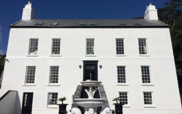 BarrowBarrow, ditch barrow · 347 yd
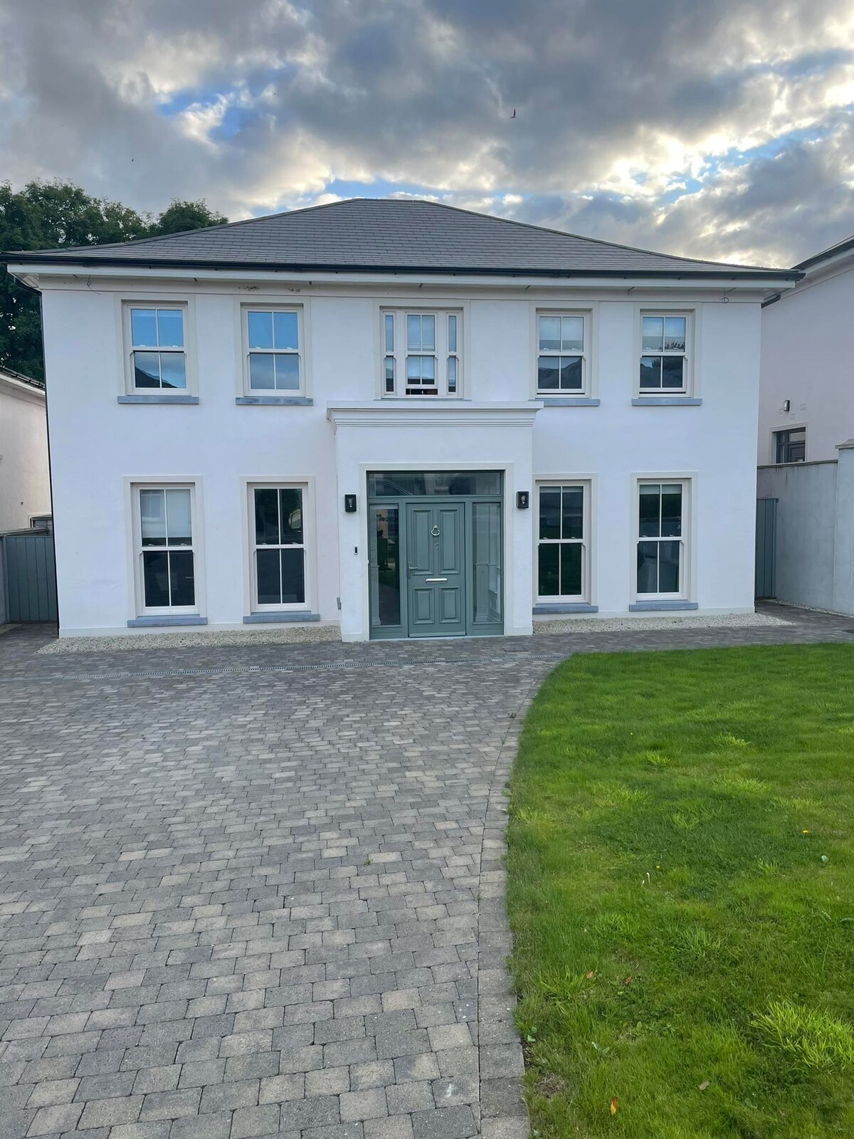 Enclosure in Camas NorthEnclosure · 582 yd
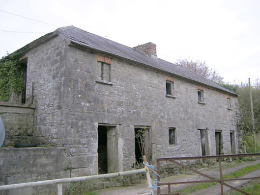 Camas Houseoutbuilding, bridge · 923 yd
 IndicatedChurch · 1023 yd
 (Site of) Tullabracky CastleCastle, unclassified · 1.5 mi
 CastleCastle, unclassified · 1.6 mi
 Lough GurVisitor information · 2.8 mi
 Grange Stone CircleArchaeological place · 2.8 mi
 Banoge's WellSpring · 4.7 mi
 KnockainyMountain / peak · 4.9 mi
 Skool HillMountain / peak · 4.9 mi
 European ashEuropean ash · 5.2 mi