What is recorded here
In reclaimed pasture, immediately N of a watercourse that forms a townland boundary with Ballygrennan, an enclosure (LI040-092----) lies 160m to the SW. Not marked on OSi historic maps. Monument described by O'Kelly (1944, 52) as a Type C earthwork consisting of; ‘A circular platform surrounded by a fosse. A modern drainage trench has cut off an arc of both. Its max. height is 11’ [3.3m] and overall diameter 50” [15.2]. No surface remains of monument visible on OSi orthophoto taken between 2005-12 and on Google Earth orthoimages.
See attached Google Earth orthoimages.
Compiled by: Fiona Rooney
Date of upload: 30 April 2021
The monument record does not grant public access. Check the route and ask the landowner before entering private land.
- What survives
- Recorded monument
Places near here
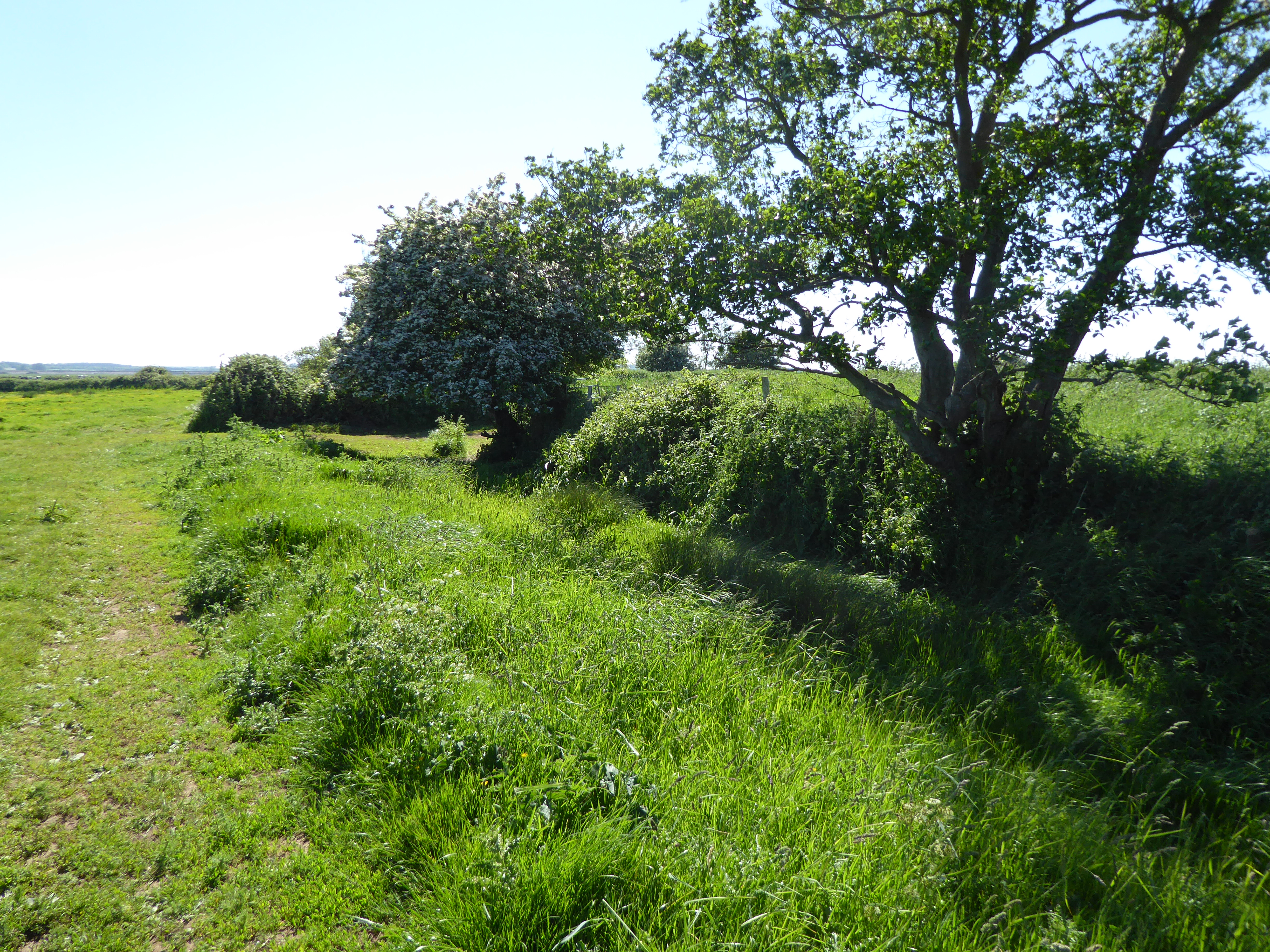 Site of Bulgaden HallCastle, unclassified · 441 yd
 Bulgaden Castle (in ruins)Castle, tower house · 541 yd
 St Patricks WellHoly well · 561 yd
 Embanked enclosure in BulgadenhallEmbanked enclosure · 695 yd
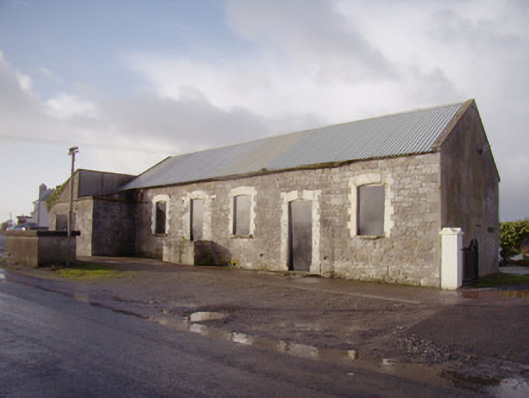 Bulgaden Creamerycreamery · 1056 yd
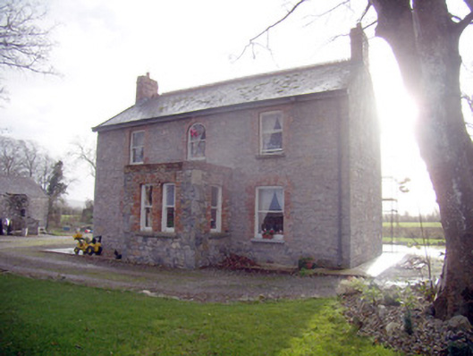 Lady Househouse · 1097 yd
 Kilmallock AbbeyHeritage attraction · 2.6 mi
 KnockainyMountain / peak · 4.2 mi
 Flat cemetery in Knockainy WestFlat cemetery · 4.4 mi
 Ballinvreena LoopVisitor information · 4.6 mi
 Edmund's WellSpring · 5.0 mi
 St Patrick's WellSpring · 5.2 mi