What is recorded here
On flat reclaimed pasture, 160m SW of Morningstar River and to immediate E of field drain which marks townland boundary with Garbally. A possible ditch-barrow (LI031-160001----) to immediate NW and possible ditch-barrow (LI031-160002----) to immediate SE. Identified by the Bruff aerial photographic survey in 1986 (Bruff 59; AP5/2059) as a sub-rectangular shaped cropmark (dims. c. 14m NW-SE; 16m NE-SW). Faint trace of cropmark visible on OSi orthophoto taken 2005-2012, and visible on the Google Earth orthoimage dated 14/09/2019.
See attached Bruff survey image showing cropmark labelled Bruff 59 and Google Earth orthoimages
Compiled by: Fiona Rooney
Date of upload: 22 March 2021
The monument record does not grant public access. Check the route and ask the landowner before entering private land.
- What survives
- Recorded monument
Places near here
 BarrowBarrow, ditch barrow · 14 yd
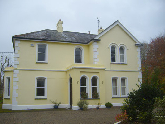 Cherbury Housesurgery/clinic · 768 yd
 Burial GroundGraveyard · 875 yd
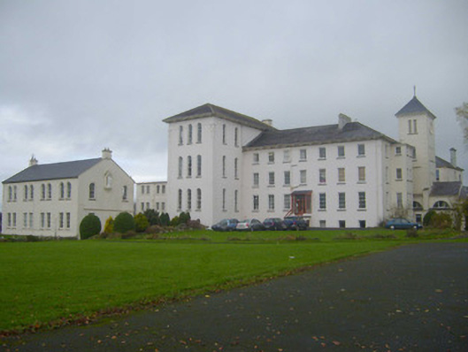 Saint Mary's Conventconvent/nunnery · 939 yd
 Castle (in ruins)Castle, unclassified · 978 yd
 (Site of) Tullabracky CastleCastle, unclassified · 1.1 mi
 Lough GurVisitor information · 2.7 mi
 Grange Stone CircleArchaeological place · 2.7 mi
 KnockainyMountain / peak · 3.6 mi
 Flat cemetery in Knockainy WestFlat cemetery · 4.5 mi
 European ashEuropean ash · 6.1 mi
 St Patrick's WellSpring · 7.4 mi