What is recorded here
This record was formerly classed as 'Rectangular Enclosure'. (Paul Walsh, 15 June 2005). It was re-classified on the basis of description and the fact that it is not marked on either edition of the OS 6-inch map. Comprises a dry, raised area in flat to undulating ground in rough pasture.
Compiled by : Geraldine Stout
Date of upload: 13 August 2013
The monument record does not grant public access. Check the route and ask the landowner before entering private land.
- What survives
- Recorded monument
Places near here
 Kiln in BreeogeKiln · 105 yd
 Enclosure in KilmacowenEnclosure · 780 yd
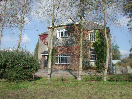 Breeoge Househouse · 810 yd
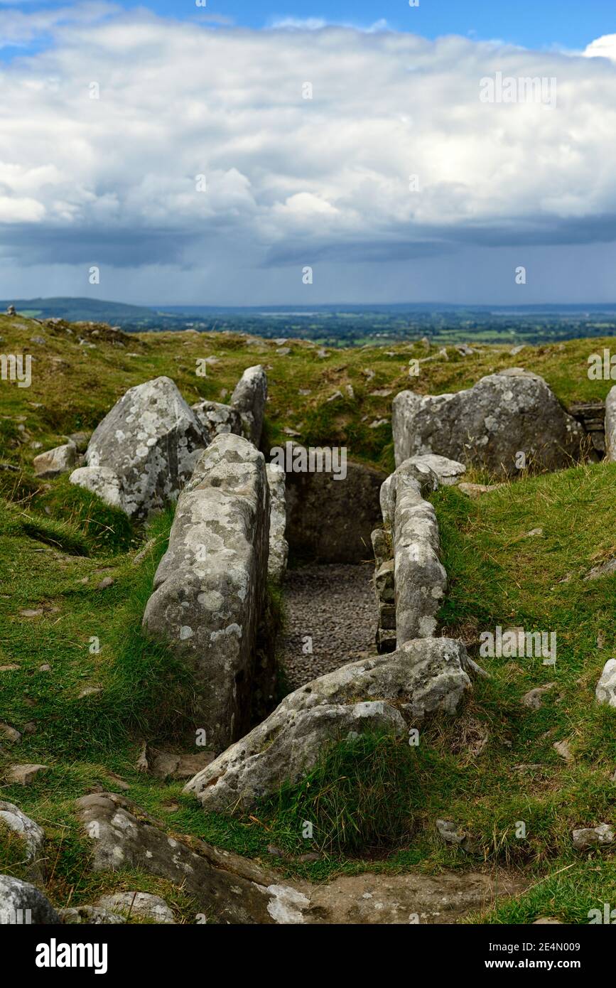 Ritual siteRitual site, holy/saint's stone · 1014 yd
 CarrigeenfaddaIslet · 1.0 mi
 Carrowmore Visitors CentreVisitor information · 1.3 mi
 Carrowmore Megalithic CemeteryHeritage attraction · 1.4 mi
 CastleCastle, unclassified · 1.4 mi
 Castle (in Ruins)Castle, unclassified · 1.6 mi
 The GlenWood · 1.7 mi
 RinnatalleenHeadland · 2.1 mi
 Knocknarea trailWalking route · 2.1 mi