What is recorded here
Marked as a small enclosure or quarry (dims. c. 25m E-W; c. 15m N-S) on the 1840 ed. of the OS 6-inch map and as a D-shaped enclosure (dims. c. 40m N-S; c. 25m E-W) backing onto a field bank at E on the 1922 ed. Situated in pasture on the steep E-facing slope of the valley of the N-S Ballyristeen stream, it is not regarded locally as the site of an antiquity and it is not visible at ground level.
The above description is derived from the published 'Archaeological Inventory of County Waterford' (Dublin: Stationery Office, 1999). In certain instances the entries have been revised and updated in the light of recent research.
Compiled by: Michael Moore.
Date of upload/revision: 16th May 2011.
The monument record does not grant public access. Check the route and ask the landowner before entering private land.
- What survives
- Recorded monument
Places near here
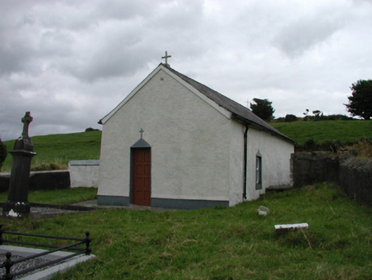 church/chapelchurch/chapel · 499 yd
 Enclosure in BallynagiglaEnclosure · 606 yd
 Burnt spread in BallyvaddenBurnt spread · 854 yd
 farm housefarm house · 1046 yd
 Mandevilles RockCastle, unclassified · 1.3 mi
 Copper CoastCoastal geological landscape · 1.5 mi
 St. Bernard's WellSpring · 1.5 mi
 Miners BucketVisitor information · 1.6 mi
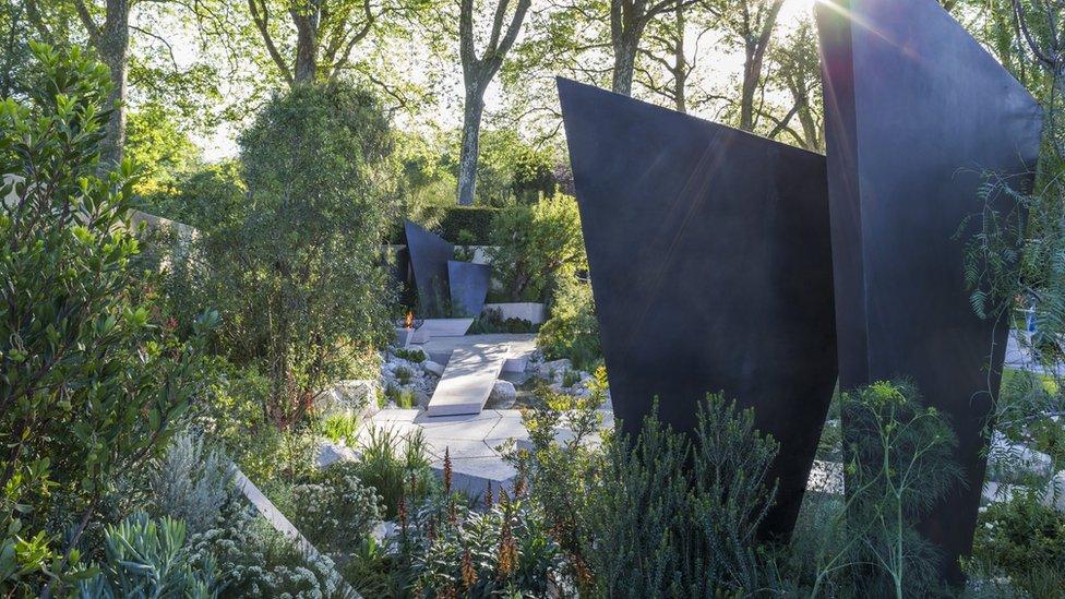 Geological GardenVisitor information · 1.6 mi
 Bunmahon StrandBeach / strand · 1.8 mi
 Tra na mBoBeach / strand · 2.1 mi
 St. Martin's WellSpring · 2.5 mi